


Tuesday is shaping up to be another nice day across central North Carolina. Mostly cloudy conditions in the early morning will give way to partly sunny skies for most of the day. Highs will range from the mid and upper 70s around the Triangle to the low 80s in the Sandhills.
While we enjoy the nice day here, severe storms will break out to our west this afternoon and evening. Those strong storms will be possible ahead of a cold front from Ohio all the way to Louisiana.
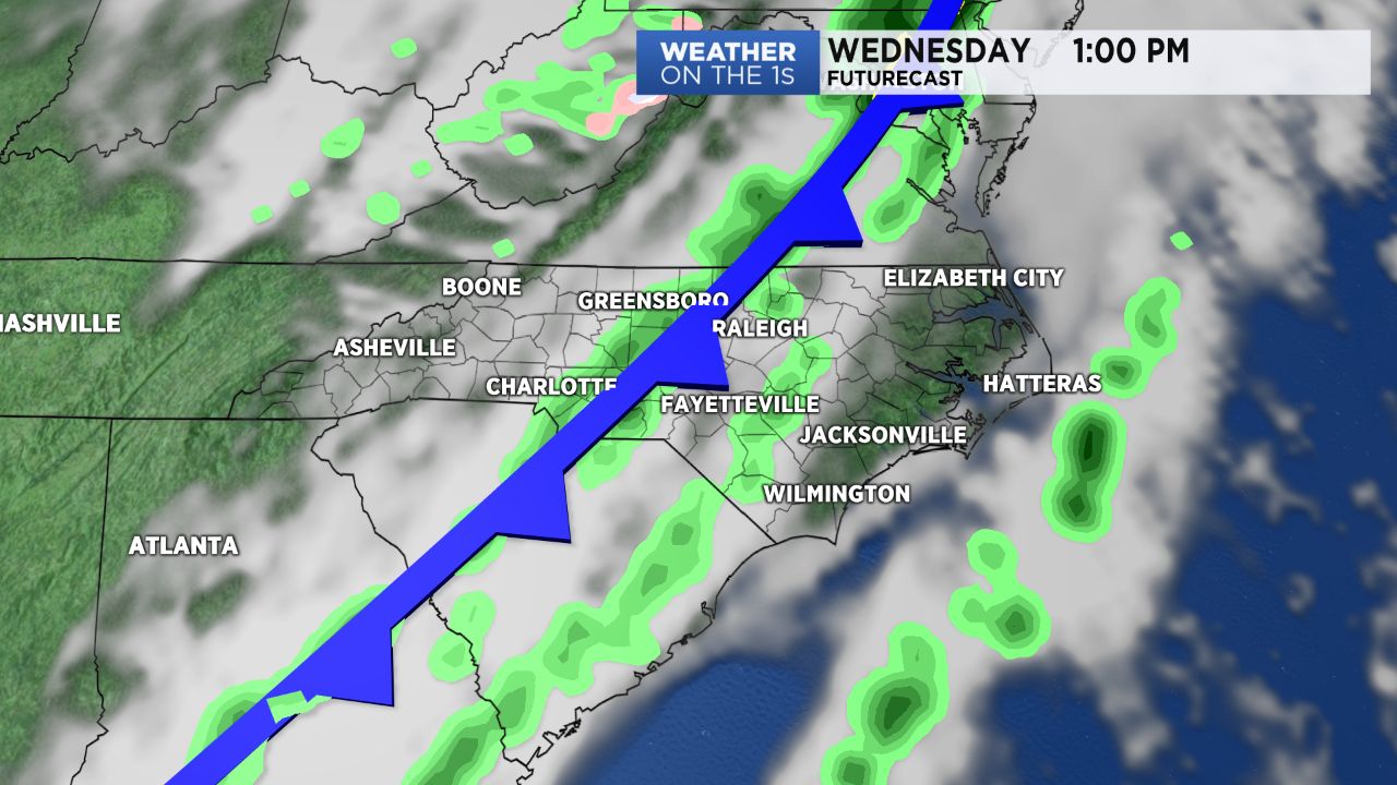
The cold front will move to the east Tuesday night and into North Carolina Wednesday.
The threat for severe storms is lower here, but a few strong storms cannot be ruled out from late Wednesday morning through early afternoon. The Storm Prediction Center has outlined much of central and eastern North Carolina for a "marginal risk" for severe storms. That is the lowest level of a five level scale. In addition to producing brief downpours and lightning, damaging wind gusts are possible with a few of the storms.
Wednesday's storm threat will come to an end by late afternoon.
High temperatures Wednesday should top out in the 70s by midday and early afternoon, but those temperatures will start to drop quickly by the end of the day. Lows in the 30s will be possible by Thursday morning.
Get the latest news, sports and weather delivered straight to your inbox. Click here to sign up for email and text alerts.