


March can bring all types of weather to North Carolina, and we will see a good example of that over the next few days.
The week starts with a storm system that could bring severe weather Monday afternoon and evening to locations to our west including Tennessee, Alabama, and Georgia. Ahead of that stormy weather, we will just see occasional or spotty showers Monday here in central North Carolina.
A more widespread area of rain will likely move through the state late Monday night into the early morning hours of Tuesday. During that time, a few thunderstorms will be possible. A strong storm or two cannot be ruled out in the Sandhills and eastern North Carolina within a few hours of sunrise.
Low pressure will track across the Carolinas Tuesday keeping scattered showers in the forecast during the day. We'll see a large range in temperatures across the state from the 40s in the northern Piedmont to near 70 around Wilmington.
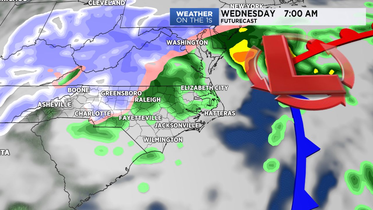
That low pressure system will eventually move off the coast Tuesday night into Wednesday. Cold air moving into the state behind the low could cause the rain to mix with snow Wednesday morning especially from the Piedmont to the mountains. Temperatures should hover just above freezing in the Piedmont, so little to no impact is expected at this time. The highest chance for snow accumulation would be in the mountains.
A mix of rain and snow is possible in the state during the day Wedesday. If the precipitation lingers long enough, even parts of eastern North Carolina could see the rain mix with snow in the evening.
Stay tuned to Weather on the 1s on Spectrum News for weather updates through the week.