


If you enjoyed this past weekend's warmer temperatures, you should like the forecast for the first couple days of this week!
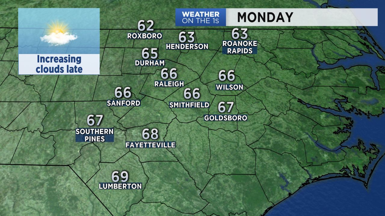
With plenty of morning sun and increasing clouds in the afternoon, Monday's highs will top out in the mid 60s across the Triangle and the upper 60s in the Sandhills. Low temperatures will only drop to the 50s for Monday night into early Tuesday morning.
Tuesday afternoon will likely be a bit warmer than Monday with highs near 70.
A cold front will be moving through the state Tuesday morning bringing a few showers to the area starting before sunrise. The showers should come to an end by midday. Less than a quarter of an inch of rain is expected in most locations. Sunshine will return in the afternoon.
Cooler air moving into behind Tuesday's front will arrive by Wednesday morning. Sunny days and clear nights are then forecast through the second half of this week with highs in the 50s and lows in the 30s.