


A rather pleasant Saturday is unfolding around the region with highs in the upper 40s around the Triangle to the low to mid 50s in the Sandhills over through the coast. This is a good day to make preparations for a long-lasting, very impressive blast of arctic air that will be with us all of next week.
That shot of arctic air will begin to arrive tonight, and our Sunday will be much colder with highs in the 30s. Low temperatures by Monday morning will be well down into the teens around the Piedmont and in the upper teens to around 20 along the coast. We will then ring in 2018 in frigid fashion with Piedmont highs below freezing and coastal highs struggle to make the mid 30s.
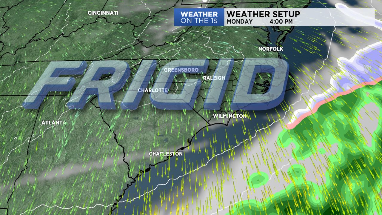
As previously mentioned, this cold will have staying power. In fact, most areas will not see highs make it out of the 30s all week long, and lows will be in the teens most mornings in the Piedmont, teens to lower 20s along the coast.
Regarding precipitation chances, there is really one opportunity next week, and that is Wednesday and Wednesday night. An area of low pressure will develop as it lifts off of the coast and up toward the Northeast US. The question is does the low organize quickly enough to throw precipitation back over land before it exits. At this point, I favor the idea of the piedmont remaining precipitation-free. However, there is at least a small chance that areas near the coast could pick up some sleet or snow late Wednesday and especially Wednesday night.
It all depends on how quickly that low organizes, and the energy responsible for the low is currently over the Pacific Ocean. So it is way, way early. The trends with most recent storm systems have been toward a drier, more suppressed solution, so we will see.