


Another arctic cold front is clearing through the region today, and that front will usher in a renewed blast of arctic air. Up in the mountains, snow will fly throughout the day, and a few of the favored northwest-facing spots could pick up a few inches.
In the Piedmont, the warmest temperatures of the day will likely occur around lunchtime, and then our temps will fall through the 40s through the afternoon. It will be a blustery day with winds potentially gusting over 30 mph at times higher in the mountains.
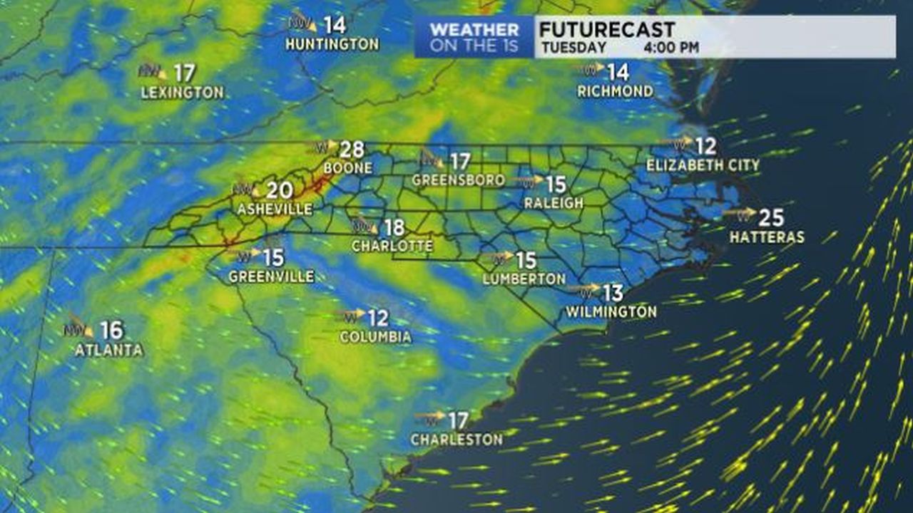
Piedmont lows tonight will then bottom out in the 18-21 degree range for most, and a couple of the coldest locations near the Virginia border could have some mid-teens.
Although the wind will decrease some tonight, there will still be enough wind stirring around to create some biting wind chill values, possibly a few single digits wind chills overnight.
Wednesday will be cold with highs in the upper 30s, and then highs return to the 40s Thursday through Saturday.
Precipitation chances remain low until Sunday night and Monday, and it appears we will have warmed up enough by that point for that next round of precipitation to be in the form of rain.