


Tuesday will be the warmest day we see for quite a while. High temperatures will top out in the upper 60s across the Triangle to near 70 in the Sandhills around mid-afternoon.
A cold front will then move across the state late Tuesday night and Wednesday morning bringing much colder weather for the rest of the week.
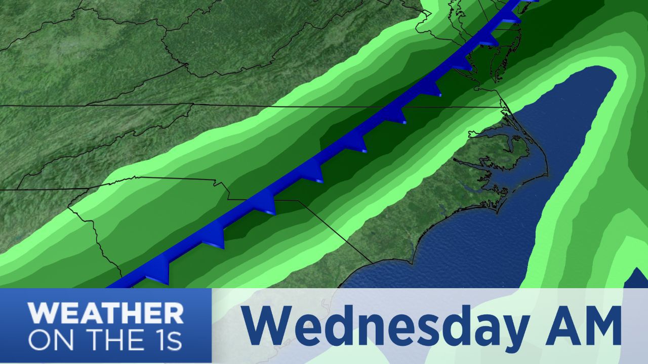
The initial band of rain showers with the front will move through central North Carolina starting around or just after midnight through sunrise Wednesday morning. Another area of showers may then develop later in the day Wednesday.
Wednesday's highs will likely come in the morning. Temperatures will drop from the 50s early in the day to the upper 40s in the afternoon.
The cold front that moves through early Wednesday will eventually stall off the North Carolina coast. That will keep mostly cloudy skies and off-and-on rain chances in the forecast through the end of the week. Look for a 30 percent chance for showers Thursday and a 60 percent chance Friday.
Thursday's highs will only reach the upper 40s to near 50. Friday will be even cooler with highs in the low 40s.
It is not out of the questions for Friday's chilly rain showers to mix with light snow at times mainly north and west of the Triangle. However, the precipitation should stay mainly as rain for much of the region.
Most of central North Carolina should see around a half-an-inch to one inch of rain from early Wednesday through Friday. Closer to the coast one to two inches is forecast.
Dry and cold weather is in the weekend forecast. Highs in the low to mid 40s are forecast for Saturday and Sunday. Morning lows will drop to near 30 Saturday and to the mid 20s Sunday.
Share your weather photos with Meteorologist Lee Ringer on Facebook and Twitter. Your photos could be featured on Spectrum News or here at spectrumlocalnews.com!