


You may want to find some time over the next couple days to find your warmest sweaters and heavy winter coat. We'll need them by the end of this week and the upcoming weekend. A midweek cold front will signal a change to a colder weather pattern across the Carolinas that may stick around for a while.
Before the cold blast arrives, temperatures will be mild for the next couple of days. Monday's highs will warm to the mid 60s. For Tuesday, temperatures will range from the 40s in the morning to the upper 60s in the afternoon. A few spots in the Sandhills may hit 70 Tuesday.
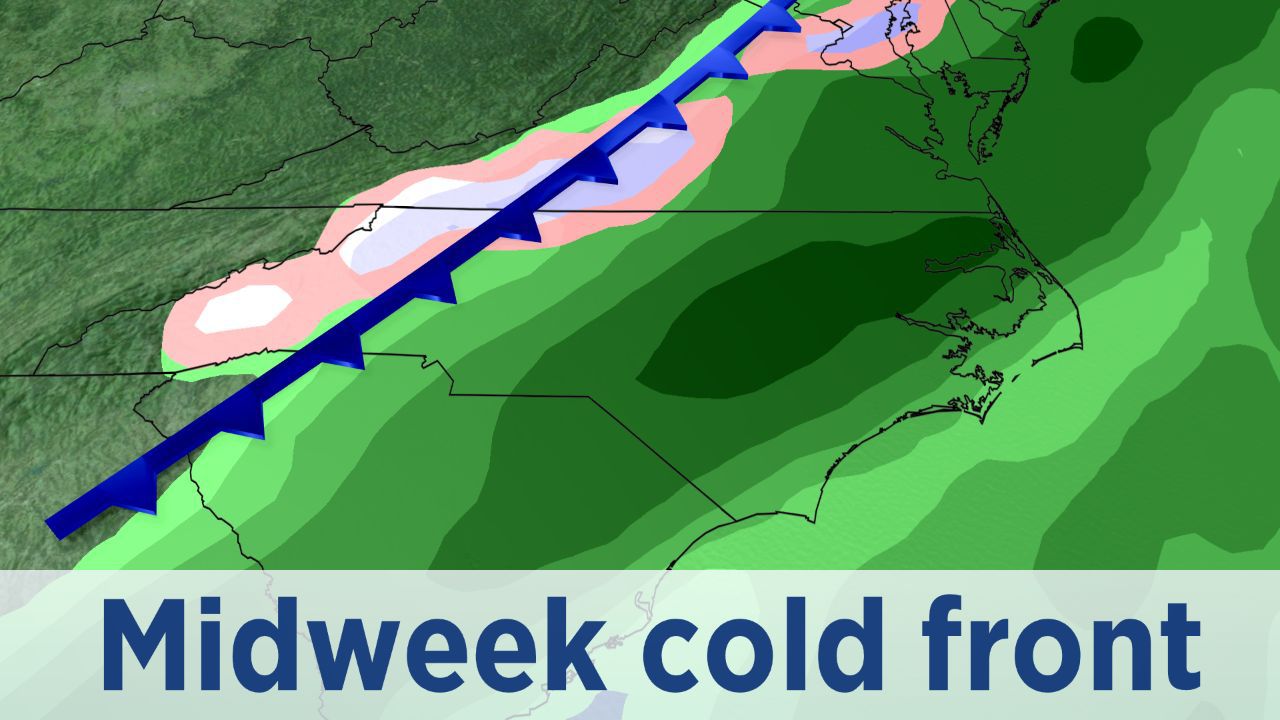
The midweek cold front will move through central North Carolina early Wednesday morning bringing a band of showers across the region between 2 and 9 a.m.
The mountains of western North Carolina could see snow showers early Wednesday morning, but only rain outside of the mountains. Less than half an inch of rain is now expected in central North Carolina. Wednesday's highs in the 50s may occur early in the day with temperatures dropping some during the afternoon.
Thursday's highs will only warm to the low 50s with a mix of clouds and sun. Friday will likely be colder.
The cold font is expected to stall off our coast for the second half of the week. Waves of low pressure moving along that front will bring central North Carolina a chance for chilly rain showers Friday. Temperatures in the mid 30s Friday morning will only climb into the low and mid 40s in the afternoon.
The weekend should be dry with highs in the 40s and lows in the 20s. Colder than average temperatures will then continue through at least the following week.
Share your weather photos with Meteorologist Lee Ringer on Facebook and Twitter. Your photos could be featured on Spectrum News or here at spectrumlocalnews.com!