


A strong cold front will trigger showers and storms Monday for central and eastern North Carolina.
However, most of the day Monday will be dry with just isolated showers and storms possible.
Despite mostly cloudy skies, highs will reach to around 80 again due to a warmer start to the day and a strong southerly flow ahead of the approaching cold front. Winds out of the south will increase through the afternoon and into tonight.
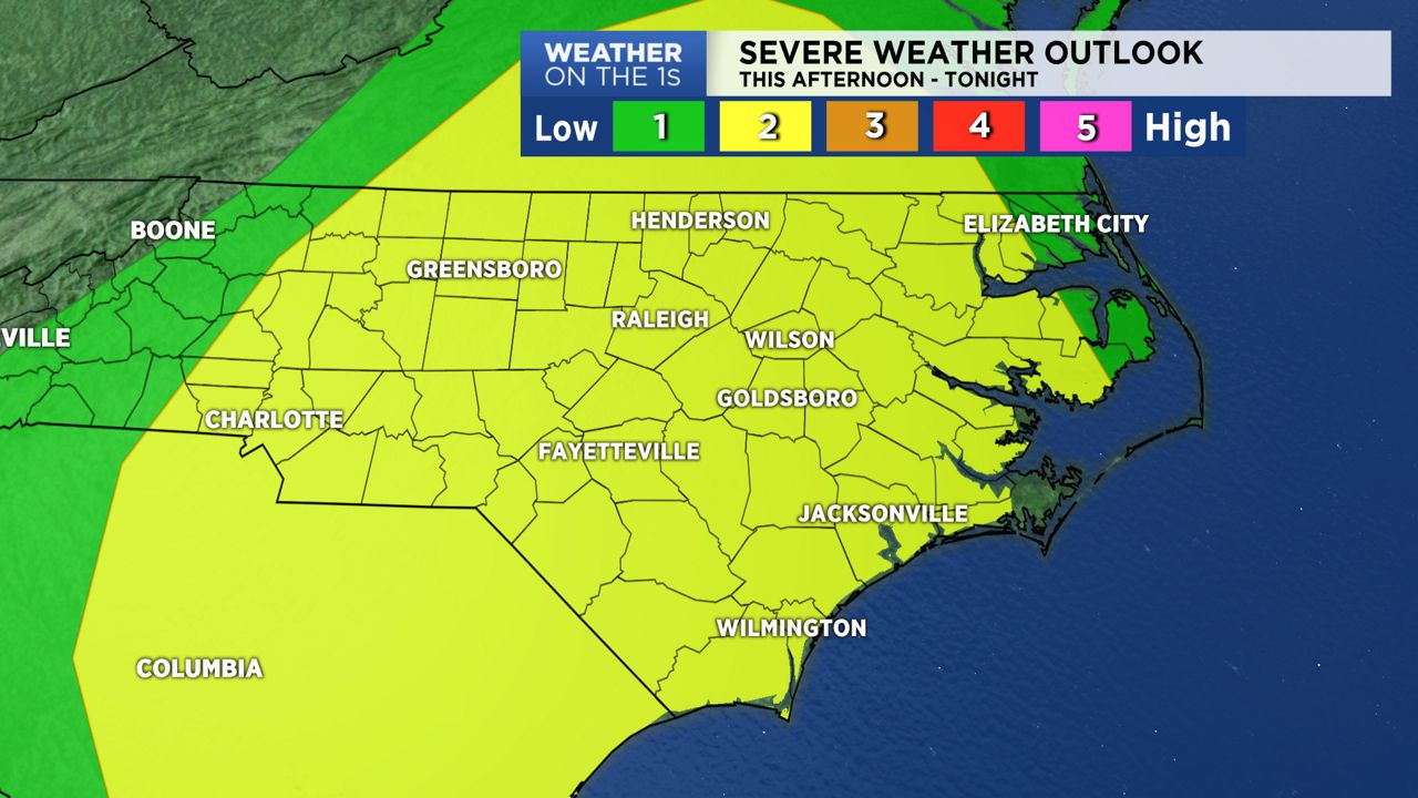
The main threat for storms will arrive this evening for central parts of the state. In eastern NC, it may not be until around midnight before the main line of storms moves in.
Stay weather-aware today and especially tonight as some of the storms could become severe. The main threat with any storm that becomes severe will be damaging wind gusts. Also, a few isolated tornadoes cannot be completely ruled out.
Because the main storm threat may occur during the late night hours for much of central and eastern North Carolina, have a way to receive severe weather alerts. This could be a NOAA weather radio or setting your cell phone to provide you with text alerts should a warning be issued for your area. And as always, you can count on Weather on the Ones with live coverage of any warning issued for your area.
Tuesday may start with coastal showers and possibly a thunderstorm or two, but most of the state will be dry. Decreasing clouds can be expected through the day Tuesday.
Cooler air spills in behind the front. Tuesday night, temperatures will drop to the 40s. Lots of sunshine returns all day Wednesday along with cooler highs in the 60s.
Highs rebound to the lower 70s late in the week before another drop in temperatures early next week.