


A chilly start for the workweek with sunrise temperatures in the 30s and 40s for much of the state. Thankfully high pressure in the region has provided a sunny day for our Monday. After a cool morning temperatures are gradually climbing and will likely reach the 60s for a max temperature.
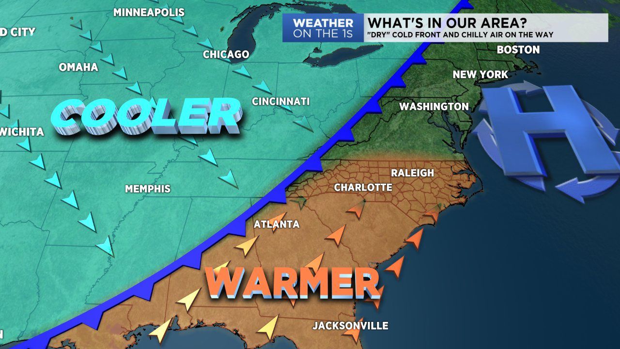
A cold front is on the way and will likely make its way through our area Tuesday. The front arrives at a time where moisture is very low. So this "dry" cold front will likely produce only a few extra clouds and no rain. But where this front lacks in rain, it will make up for with cooler air.
Ahead of the front we'll likely have a spike in temperatures Tuesday afternoon in the 70s. Behind the front as cooler air filters in expect below average temperatures. Highs will be limited to the 60s Wednesday and the 50s for Thursday and Friday.
The good news is our weather will be mostly fair for the next few days. We'll likely have to wait until Friday and the weekend for our next good shot at rain. So until then dress accordingly as we continue this roller coaster temperature ride and stay connected for future updates.