


NORTH CAROLINA -- Fall doesn't know what it wants to do. After an unseasonably warm start to October, our past weekend was cool and seasonable. However, today temperatures soared into the 80s for much of the state.
- We're in for cloudy skies Tuesday and through the day Wednesday
- Scattered showers will be possible both days
- For Thursday and Friday, we will need a good jacket with expected highs in the 60s and lows in the 40s
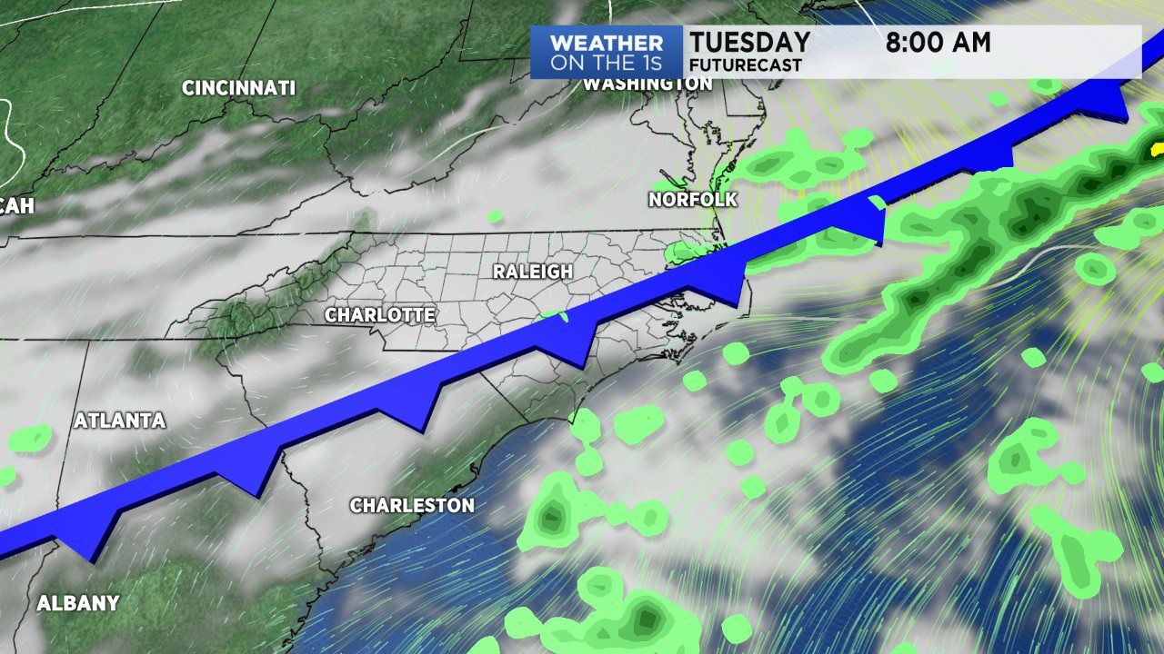
Southerly winds helped with the above average setting. The southerly wind flow is in response to an advancing cold front that will march through the state Tuesday. The front will move through the area Tuesday morning but stall over the coast by the evening.
This means we're in for cloudy skies Tuesday and through the day Wednesday. Scattered showers will be possible both days. The time frame with the highest likelihood of rainfall will be from late Tuesday afternoon until early Wednesday morning.
Through the day Wednesday, our weather will gradually improve as the front leaves the area and high pressure builds in behind it. The high will filter in cooler and drier air, setting up a below average end to the week. For Thursday and Friday, we will need a good jacket with expected highs in the 60s and lows in the 40s.
Another front will slide through late Friday/early Saturday, providing another chance of rain within the next seven days. Yes, rain is never a fan favorite during the weekend but the bigger story with this front comes behind it. Following Saturday's front, will be the coldest air we've seen all season.
High pressure will dominate providing sunny skies but temperatures will limited to the upper 50s to low 60s during the day. Lows will truly be chilly with overnight temperatures expected to fall into the 40s and 30s Sunday night into Monday morning. A few patches of front may develop just north and northwest of the Triad/Piedmint area.
Get the latest news, sports and weather delivered straight to your inbox. Click here to sign up for email and text alerts.