


Skies are cloudy but that won't stop temperatures from reaching above normal levels Saturday afternoon. A weakening cold front is on its last leg as it looks to stall and eventually dissapate over the state today. The front produced a few showers early Saturday morning and a few more for the afternoon cannot be ruled out. The odds of rain is unlikely for many. Most we'll just enjoy a cloudy, dry day with highs ranging from the low to upper 80s.
The Triad will likely have peak temperatures raning from the upper 70s to low 80s. The Triangle area will likely max out in the lower 80s while the Sandhills climb into the mid to upper 80s.
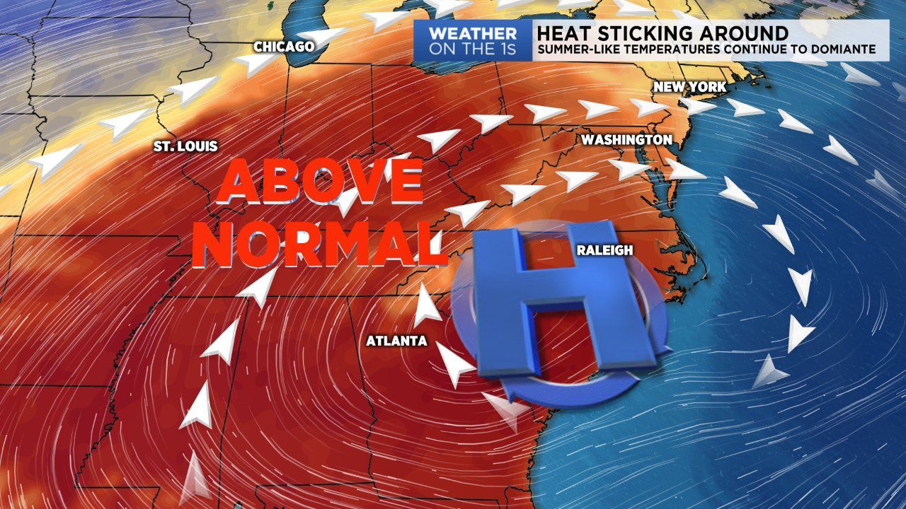
Upper level ridging will remain in place for the next few days. This will ensure our Summer-like temperatures will continue well into the upcoming workweek. The ridge will not only increase our temperatures but our rain chances as well. Over the coming days, the ridge will shift east allowing for subtropical moisture to flow freely into the area. This will truly place us in a Summer setting with warm temperatures and a high volume of available moisture.
As of right now we'll keep the forecast mostly dry Sunday, Monday and early Tuesday. Isolated afternoon showers will be possible each day due to daytime heating. But coverage will be extremely small scale in nature. A more, significant amount of rain is likely through the backhalf of the week. We're tracking a tropical disturbance in the Caribbean that looks to track north into the Gulf of Mexico this weekend. This area of low pressure has a high likelihood of becoming an organized, named system. If so, it would take on the name Michael. Regardless this tropical disturbance will likely bring a lot of rain to the Deep South and eventually scattered to numerous showers to the Carolinas. We'll keep you updated.