


A disturbance off the Carolina coast lead to scattered showers and storms on Tuesday... An approaching cold front will give North Carolina another chance for showers and storms by Wednesday afternoon.
Through the rest of the night, any shower chance will come to an end. We'll see clouds with some areas of fog developing into early Wednesday morning.
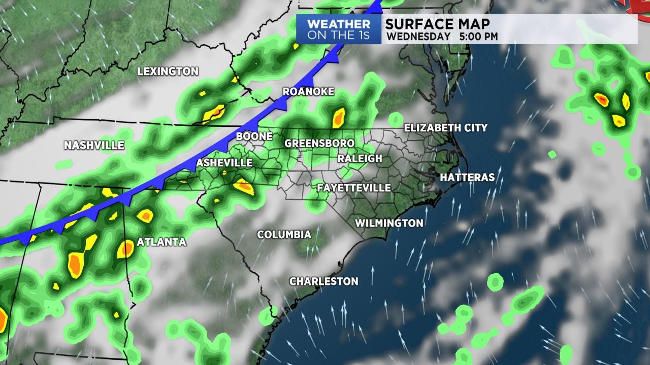
By Wednesday afternoon, a cold front will approach the region. This front will trigger scattered showers and isolated thunderstorms as it moves across the state from Wednesday afternoon into Wednesday night. The front is expected to slow down and linger across the area on Thursday. This will lead to a good chance for showers on Thursday and continuing into Thursday night.
Scattered shower chances are expected to continue into Friday.
In the tropics, the National Hurricane Center is monitoring the disturbance off the Carolina coast, along with the remnants of Kirk and Leslie.
Watch Spectrum News for your latest local forecast.