


A cold front will move into North Carolina over the weekend bringing the chance for just a few showers and storms. Somewhat cooler temperatures should also arrive with the front by the end of the weekend.
- Interactive radar
- 7-day forecast
- Share your weather photos with Meteorologist Lee Ringer on Facebook
Before the weekend officially arrives, most of Friday will be dry with a mix of clouds and sun. High temperatures will warm to the mid 80s.
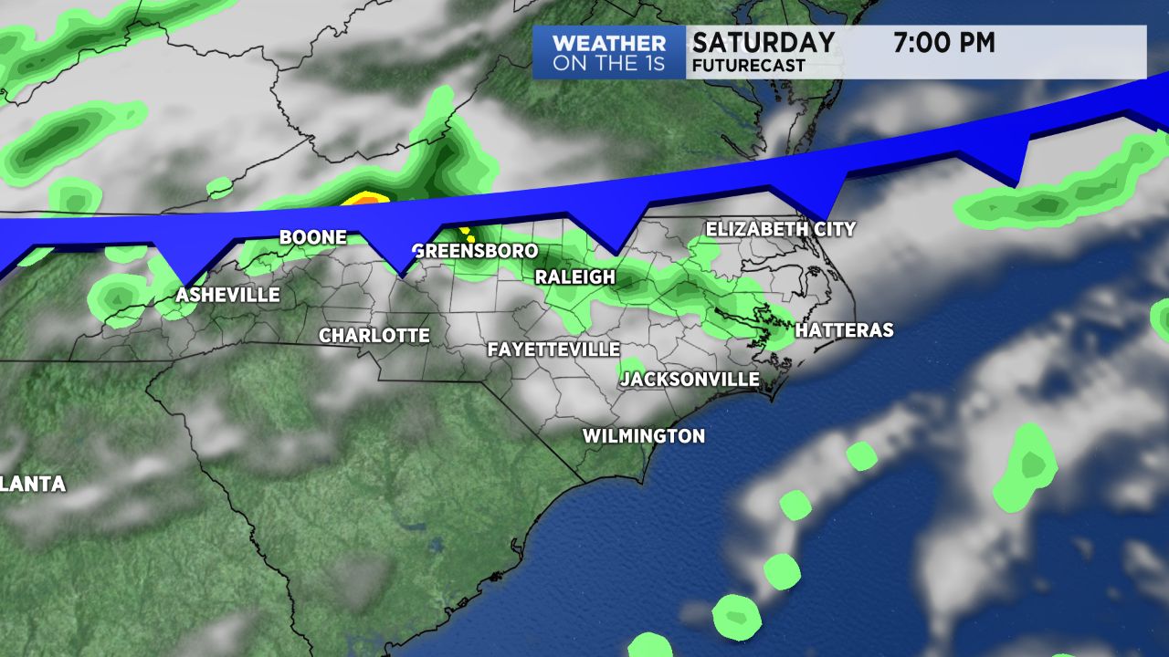
Most of the day Saturday will also be dry and warm. Highs will return to the mid 80s in the Triangle and the upper 80s in the Sandhills. We can look for plenty of sun through the first half of the day. Increasing cloudiness is expected during the afternoon as the cold front approaches from the north. The front could bring a few scattered showers and storms to central North Carolina by late Saturday afternoon or Saturday night.
The front will slowly move from north to south across North Carolina Sunday. That should bring mostly cloudy conditions along with just a few spotty light showers. Sunday's highs will bring from the upper 70s in the Triangle to the low 80s in the Sandhills.
The chance for "hit or miss" showers and storms will be in the forecast most days next week. The highest chance each day from Monday through next Friday will come during the afternoon and evening.
Much of North Carolina should see around a half inch to an inch and a half of rain over the next seven days. High temperatures will return to the mid 80s by the middle of next week.