


After a couple of days with lower humidity, muggier air is making its return to the area today with highs in the 80s.
- Humidity will be increasing.
- Some storms possible over the weekend.
While our viewing area will be primarily dry today and tonight, a lot of rain and storms will occur in the eastern parts of South and North Carolina today and tonight as an area of low pressure lifts up the Coastal Plain.
After that low departs, our attention turns to our system approaching from the west.
That system will likely cause a very significant outbreak of severe weather today and tonight from southern Michigan down through the Ohio Valley, Tennessee Valley, and into the Ozarks.
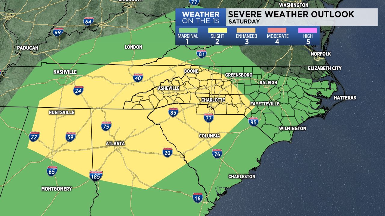
The chance for storms, some of them possibly strong to severe, will then shift into the Carolinas Saturday afternoon.
Saturday will mark the beginning of a pretty unsettled pattern in the region that will last a while. In fact, I expect a good daily coverage of scattered showers and storms through most of next work week.
Get the latest news, sports and weather delivered straight to your inbox. Click here to sign up for email and text alerts.