


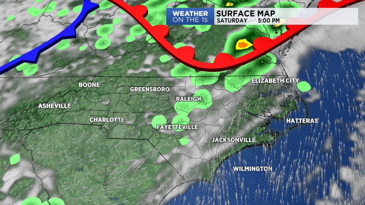
A weak disturbance will bring the threat of isolated showers and storms to North Carolina today and tomorrow. A cold front will sweep through the state late Sunday-early Monday, ensuring some rain after the weekend. An area of high pressure will fall in place Monday night and stick around through early Wednesday.
Temperatures remain on high as we move through the weekend. Highs today will peak in the low to mid 90s today and the mid to upper 90s Sunday. Isolated to scattered storms will be possible until sunset.
Sunday will feature similar conditions to Saturday. The cold front will slowly track across the state, producing a strong southerly wind flow for much of the area. This is why Sunday will be warmer in the mid to upper 90s compared to Saturday in the low to mid 90s. Due to upper 90 degree temperatures it’s likely many will deal with near triple digit heat index values. The good news is we’ll likely remain below heat advisory criteria.
The front will sit just to our south Sunday. With the front still in the region, a few more showers will be possible Monday. But by late Monday high pressure will fully move in to the area, pushing the cold front farther away. A more northerly wind flow will be in place Tuesday as we enjoy a bright, dry day with seasonable temperatures in the mid to upper 80s.