


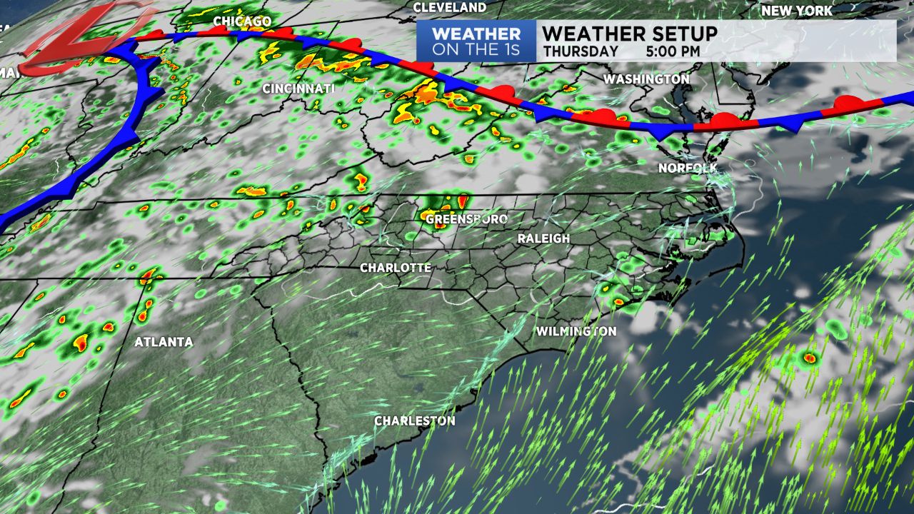
CHARLOTTE, N.C. -- Some weather changes are underway around the region. The big upper level ridge, which has been in place all week and provided the stifling heat and humidity, is collapsing as a disturbance is rolling in from the northwest. Thursday will still be hot, but not quite as hot compared to recent days. Look for Piedmont highs in the low to mid 90s with 70s for the mountains.
- Thursday will be hot, but not as hot as previous days.
- There will be better chances for storms in the evening for Thursday and Friday.
- Hot and humid for the weekend.
The bigger story will be better chances for scattered showers and storms through the afternoon and evening hours Thursday and again for our Friday. There is enough energy in the atmosphere to allow for the possibility of some strong to severe storms as well. Damaging winds will be the primary severe weather threat.
The weekend looks very much like summer. Look for fairly hot and humid conditions, and some pop-up afternoon storms will be a possibility.
There remain indications that some drier and cooler air will try to slip in here from the north in the Tuesday-Thursday time period next week. It is challenging to get a cold front through here this time of year, so time will tell.
Get the latest news, sports and weather delivered straight to your inbox. Click here to sign up for email and text alerts.