


A cold front is moving into the region today, and the result will be the chance of some scattered showers and storms this afternoon, ending by early evening. It will be a warm and humid day otherwise with highs in the 88-91 degree range.
- Cold front moving into region.
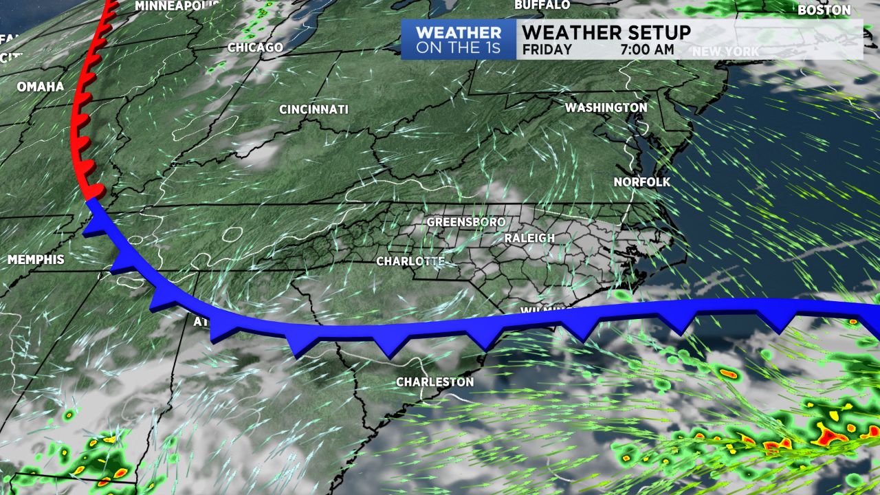
- Scattered showers and storms could take place on Thursday afternoon.
- Drier air will arrive for Father's Day weekend.
Behind that front, some drier air will arrive, and rain chances look very low for us Friday through the Father's Day weekend. Highs tomorrow will be in the mid and upper 80s. Thereafter, look for highs in the upper 80s Saturday and lower 90s Sunday.
A hotter weather pattern will settle in early next week as a big upper level ridge cranks overhead. Highs will likely be at least into the low to mid 90s, and daily rain chances will remain small until Wednesday, when chances will increase.
Get the latest news, sports and weather delivered straight to your inbox. Click here to sign up for email and text alerts.