


While many of us across central North Carolina enjoyed a break from the unsettled weather, a few of us had to deal with more showers.
Thanks to a frontal boundary across South Carolina folks across the southern counties had to deal with more showers and a few thunderstorms.
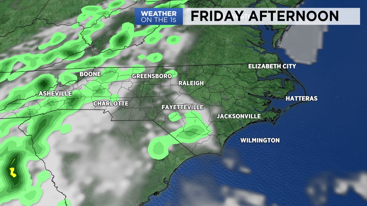
Friday is shaping up to be nice with partly cloudy skies and highs ranging from the low 80s north to the mid and even upper 80s across southern sections. We still see a small chance for a few showers and isolated thunderstorms near the South Carolina border and south coast in the proximity of that front.
Just in time for the Memorial Day weekend the chance for rain increases significantly and if that’s not enough, it now appears likely that a tropical system will develop in the Gulf of Mexico over the next few days. Expect tropical moisture to overspread the southeastern United States through the weekend.
The holiday weekend may not be a complete washout. Saturday morning should be dry with just scattered storms expected Saturday afternoon. The showers and storms coverage increase across the state for Sunday and certainly for Memorial Day when heavy downpours will be possible.
Stay tuned to Weather on the 1s on Spectrum News for updates.