


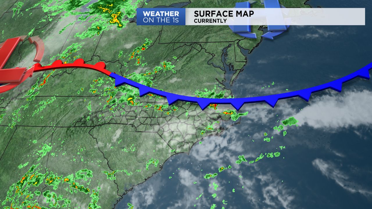
A weak cold front will drop in from the north this evening, and then stall close to the region tonight. The front will help to fire numerous areas of heavy rain and storms, some of which could produce localized flooding. Furthermore, with the slow movement of the front rain and storms may linger into a good portion of late tonight.
Less numerous storms are anticipated on Tuesday. Nonetheless, a few may develop across the region Tuesday afternoon. By Wednesday, another front will slide south through the region. This front will likely fire another round of widespread storms across Central NC. A few storms may even be severe with a threat of damaging winds and large hail.
A noticeably drier air mass should nudge into the area by Thursday, and then carryover into Friday. At this point, conditions appear to be dry for both days. That said, unsettled weather appears to return or the weekend.