


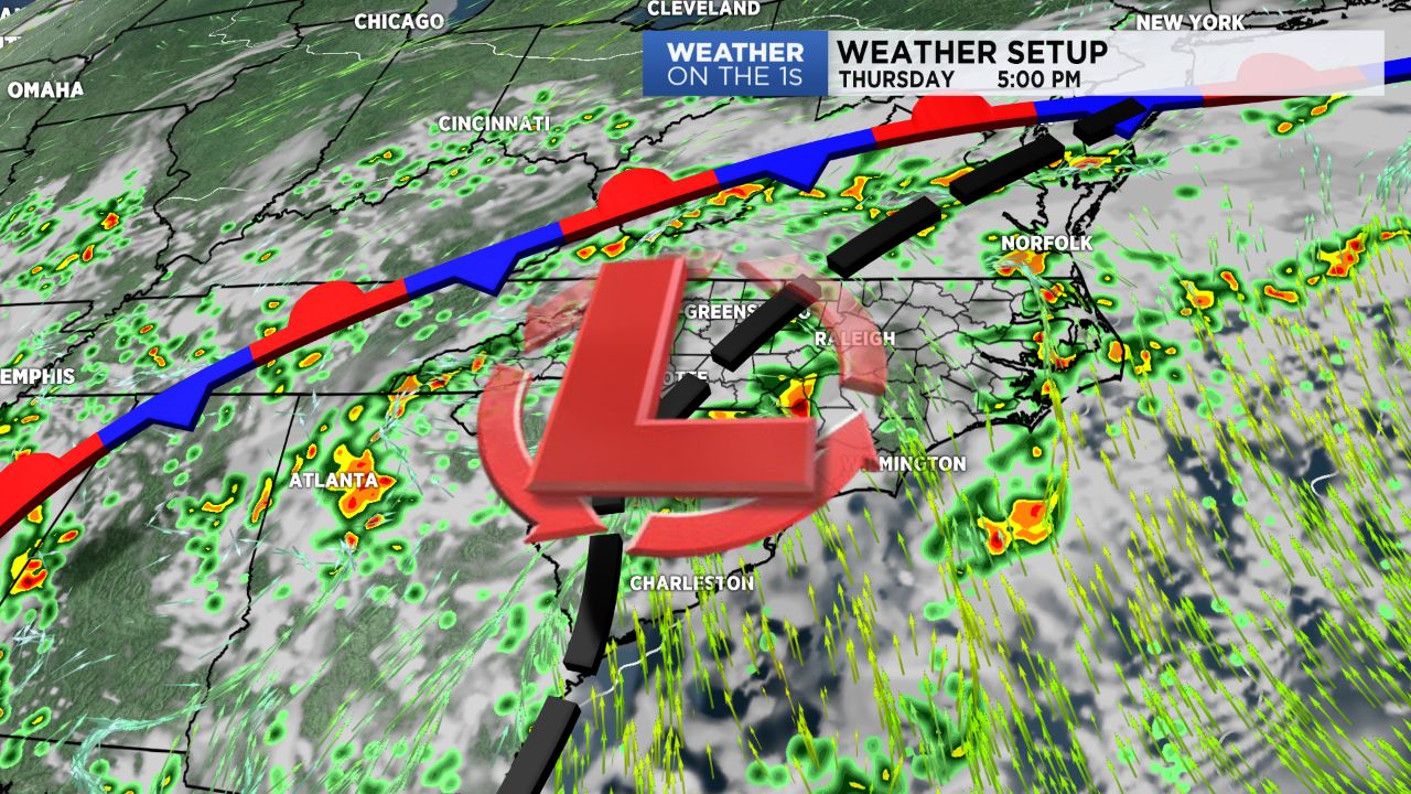
A rich, tropical airmass remains in place around the region today. In this type of airmass, it remains very easy for showers and storms to form, and once they do form, it's easy for them to generate heavy rainfall rates that add up quickly. So, my forecast today will highlight good chances for areas of showers and storms, and some locally heavy bursts of rain will remain possible.
- Highs for Thursday and Friday will be in the 70s.
- Showers and storms should decrease for weekend.
- Foothills and sandhills will remain under Flash Flood Watches for weekend.
Friday will be much the same with showers and storms likely as the very humid air remains in place. Highs today and tomorrow will be in the 70s.
Many spots in the region have received at least 1-2" of rain this week, and an additional inch or two seems likely in many areas. Therefore, some flash flooding issues will be a possibility. Many locations in the foothills and mountains are under a Flash Flood Watch through Friday evening.
Over the weekend, I expect a gradual decrease in the amount of showers and storms. I still think Saturday features a good amount of scattered showers and thunderstorms, but the coverage should greatly decrease for Sunday and Monday.
Get the latest news, sports and weather delivered straight to your inbox. Click here to sign up for email and text alerts.