


Track showers across North Carolina today with our interactive radar
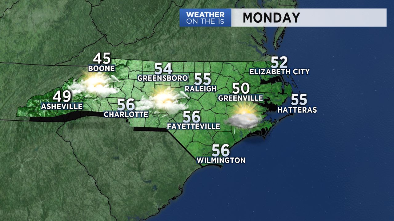
This week's weather isn't off to the best start. Low pressure off the Carolina coast is producing cloudy skies and spotty showers across North Carolina Monday morning.
Of course, rain is not always such a bad thing in April. It will hopefully help to wash some of the pollen away.
Most of these showers will just be spotty and light. Much of North Carolina will see less than a tenth of an inch of rain. Locations east of I-95 and near the coast could see up to a half inch.
Showers will wrap up in western and central North Carolina Monday afternoon but will continue near the coast into the night and possibly even into Tuesday morning.
The clouds and light showers will keep highs to the mid 50s over most of the state Monday. In the mountains, where snow has been reported early Monday morning, highs will only top out in the 40s.
Tuesday will bring a mostly cloudy to partly sunny day to much of the state. Everyone will enjoy a full day of sunshine by Wednesday.
Highs in the 60s are forecast for Tuesday and Wednesday. Most of the state will warm to the 70s Thursday. Some locations could hit 80 Friday.
Get the latest news, sports and weather delivered straight to your inbox. Click here to sign up for email and text alerts.