


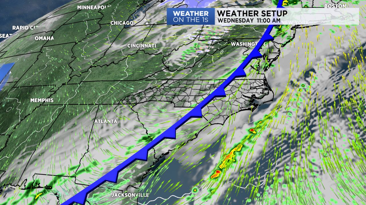
A cold front quickly slid into the region this morning, and ahead of the front, some gusty showers and storms moved through. In the wake of that front, much drier and cooler air is taking over, and we will have increasing amounts of sunshine as we get later into today. Winds will be a bit gusty out of the northwest at times as well.
Tonight will be chilly with lows heading into the low and mid 30s under a clear sky.
Beautiful weather is then on the way for Thursday and Friday. Thursday should feature full sunshine with highs near 60. Some afternoon clouds then arrive Friday with highs near 70.
Our next storm system then arrives for Saturday. At this point, I expect wet Saturday weather with rain likely. That's the bad news for your weekend plans. The good news is that Sunday will feature near full sunshine. The snow potential with this weekend's system will likely run from the mountains up through the Virginias.