


A cold front moved through the region early today, and ahead of the front, a few showers worked through the area. However, rain amounts were very underwhelming, and drier air is now taking hold. Look for increasing amounts of sun today with highs in the 70s.
Cooler air arrives tonight, and I expect Saturday morning lows in the mid and upper 30s for most.
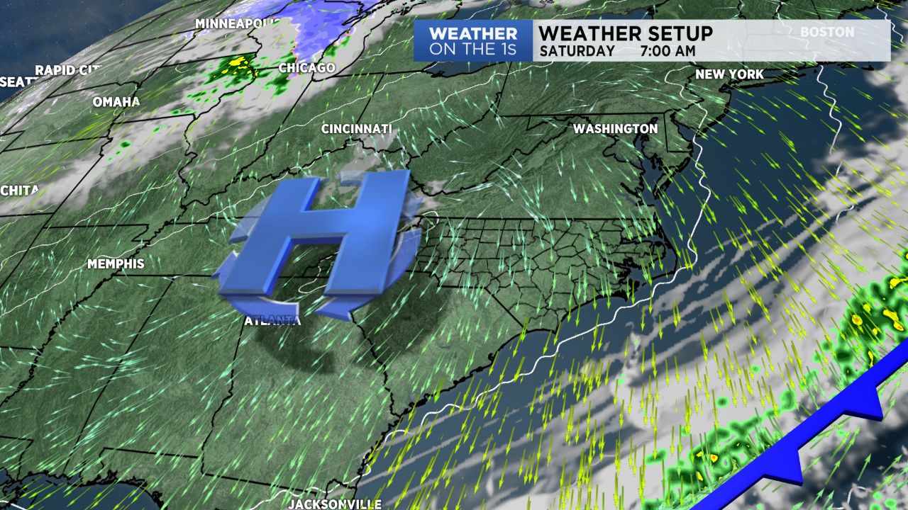
Easter weekend continues to look pretty nice. I expect full sunshine all day Saturday with highs in the 60s. Temperatures for sunrise services Sunday morning will wind up in the 40s, and then Easter Sunday highs warm to near 70.
A few showers are possible Monday, and then our best rain chance next week will likely occur Wednesday.
Get the latest news, sports and weather delivered straight to your inbox. Click here to sign up for email and text alerts.