


We had some heavy rain roll through the region last night, and some areas received an inch or so in the rain bucket along with a few rumbles of thunder.
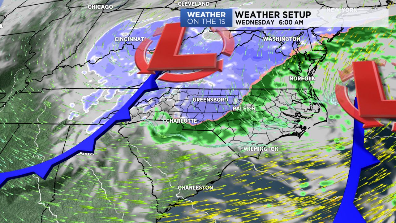
Through the day, we are between storm systems with one area of low pressure pulling into the Atlantic and another approaching in West Virginia.
Today will be cool with clouds and a lingering shower possible. Highs for the Triad area will likely only be in the low or mid 50s while to our south, parts of South Carolina make a run to near 80.
Shower chances will then increase this evening as the next system arrives. So expect some evening showers, and another rumble of thunder can't be ruled out.
Cold air will deepen overnight, and some snow showers will become possible after midnight through Wednesday morning.
Up in the mountains, this will be another significant snow event with multiple inches of snow occurring.
Out in the foothills and piedmont, snow amounts shouldn't be overly significant.
Some areas could certainly have the ground whitened late tonight or Wednesday morning, and I can't even rule out one or two spots receiving up to 1" on the grassy or elevated surfaces. But snow outside of the mountains should not be a big deal.
Wednesday will be chilly with highs in the 40s, and then look for cool and dry weather Thursday and Friday.
Our next system will then spread in more rain chances over the upcoming weekend.