


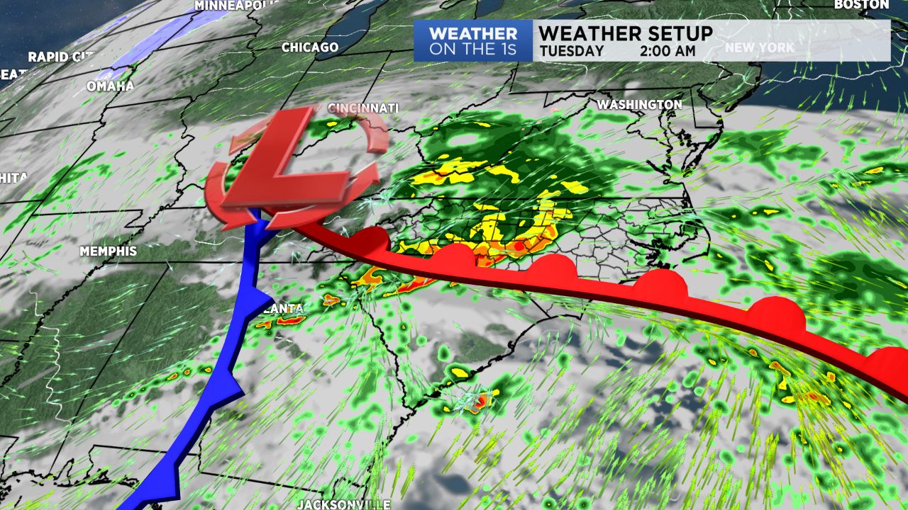
A dynamic storm system began Monday over the Ozarks region of Arkansas and Missouri. Ahead of that low pressure area, warm and unstable is getting drawn northward into the Deep South and Tennessee Valley, and folks in Alabama and Tennessee will likely have a significant round of storms later today and into this evening.
Here in our area, we will remain in the cooler, more stable portion of this storm system. We will have clouds through the day, and some showers will be possible at times today and this evening. Overnight, a round of moderate to heavy rain is likely, so tonight will be when our heaviest rain occurs with this system.
Tomorrow will be a chilly, damp day. Clouds will be with us, and some showers will remain possible with highs in the mid and upper 40s.
Finally on Wednesday, and the low pressure strengthens off of the mid-Atlantic coast, some snow showers could mix in with the rain in some areas. At this time, I don't expect anything significant with the snow outside of the mountains.
Thursday and Friday then should be cool and dry.