


Highs Thursday surged into the mid and upper 60s around our area as a milder airmass returned.
Today will also be fairly mild, although a couple of ticks off of yesterday's numbers. Look for low to mid 60s under a mostly sunny sky, and it will not be quite as windy as yesterday either.
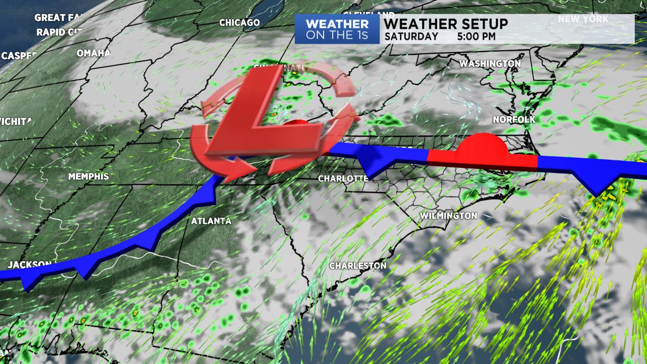
Our next storm system will roll in Saturday. As I've been saying through the week, Saturday will not be a wash-out. I expect some scattered showers, but not a terrible setup overall with highs still in the 60s.
Our best rain chance over the weekend looks to be overnight Saturday night as an area of low pressure moves through, and then Sunday should be dry with highs in the upper 50s.
A chilly weather setup returns for next week. I expect well below average highs through the week, and some rain chances will persist. In fact, rain chances really ramp up later Monday into Tuesday, and some showers are likely to linger into Wednesday.