


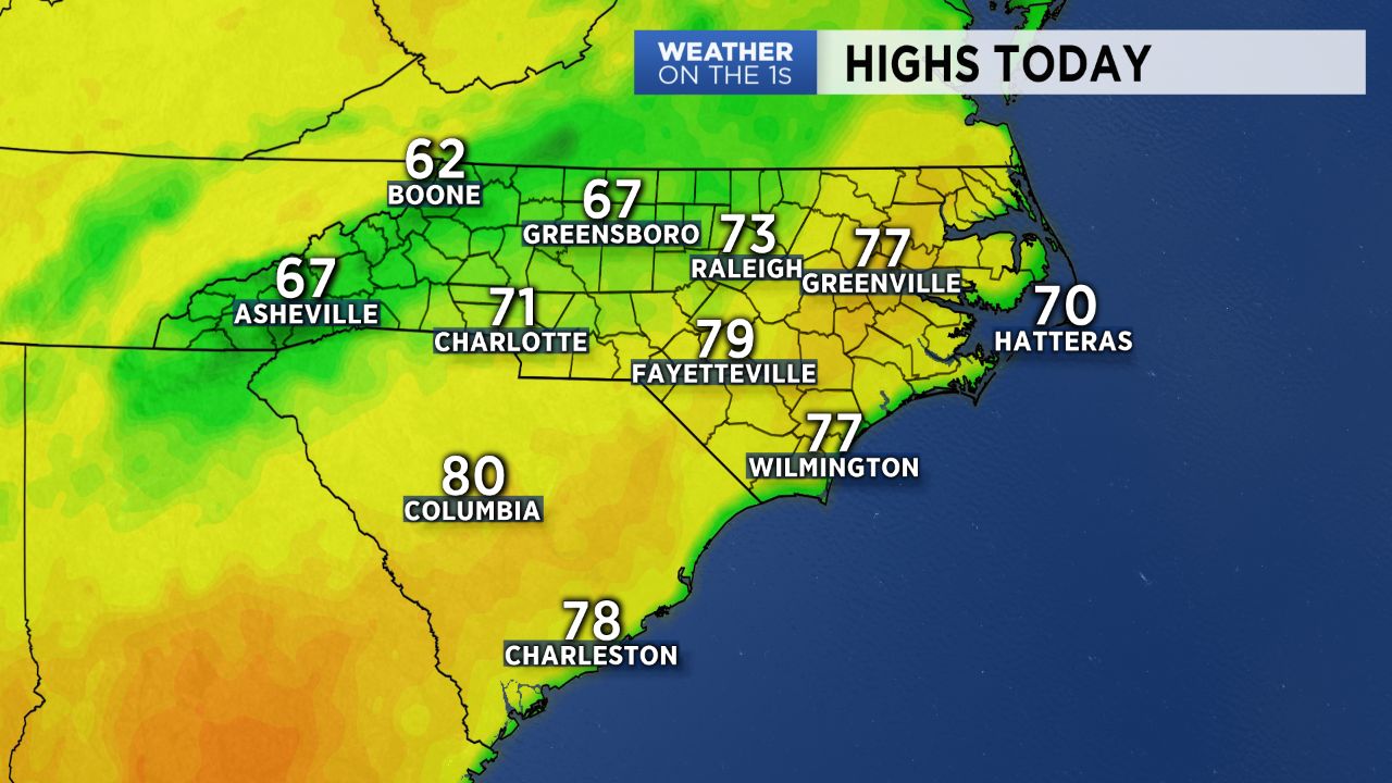
A warm front has lifted north of the region, and as that front worked in, a very foggy scenario unfolded last night into this morning. That warm front has opened the door for a very warm weather setup all around the region through the week. Highs this afternoon will push into the mid and upper 60s under a mostly cloudy sky.
As we then head into Wednesday, even warmer air settles into the Carolinas. In fact, highs could reach the mid 70s in many areas Wednesday and Thursday.
Some computer model data indicates the potential for a back door front to then push through, meaning cooler Friday weather. At this point, I have not bought into that scenario, and I expect the well above average temperatures to continue through the weekend.
A cold front will finally buckle in here later in the weekend, so I expect better shower chances by Saturday night and Sunday, followed by slightly cooler weather Monday and Tuesday.