


A dynamic storm system is ramping up over the Plains states today and is gradually working eastward. Out ahead of that system, moisture is on the increase in the Carolinas. Look for lots of clouds today, and shower chances will continue to increase through the day. Showers will then be likely overnight tonight.
Temperatures will warm through the 50s and even into the 60s for some by late this afternoon. Then, as a southerly flow gets established tonight, look for steady or rising temperatures through the night.
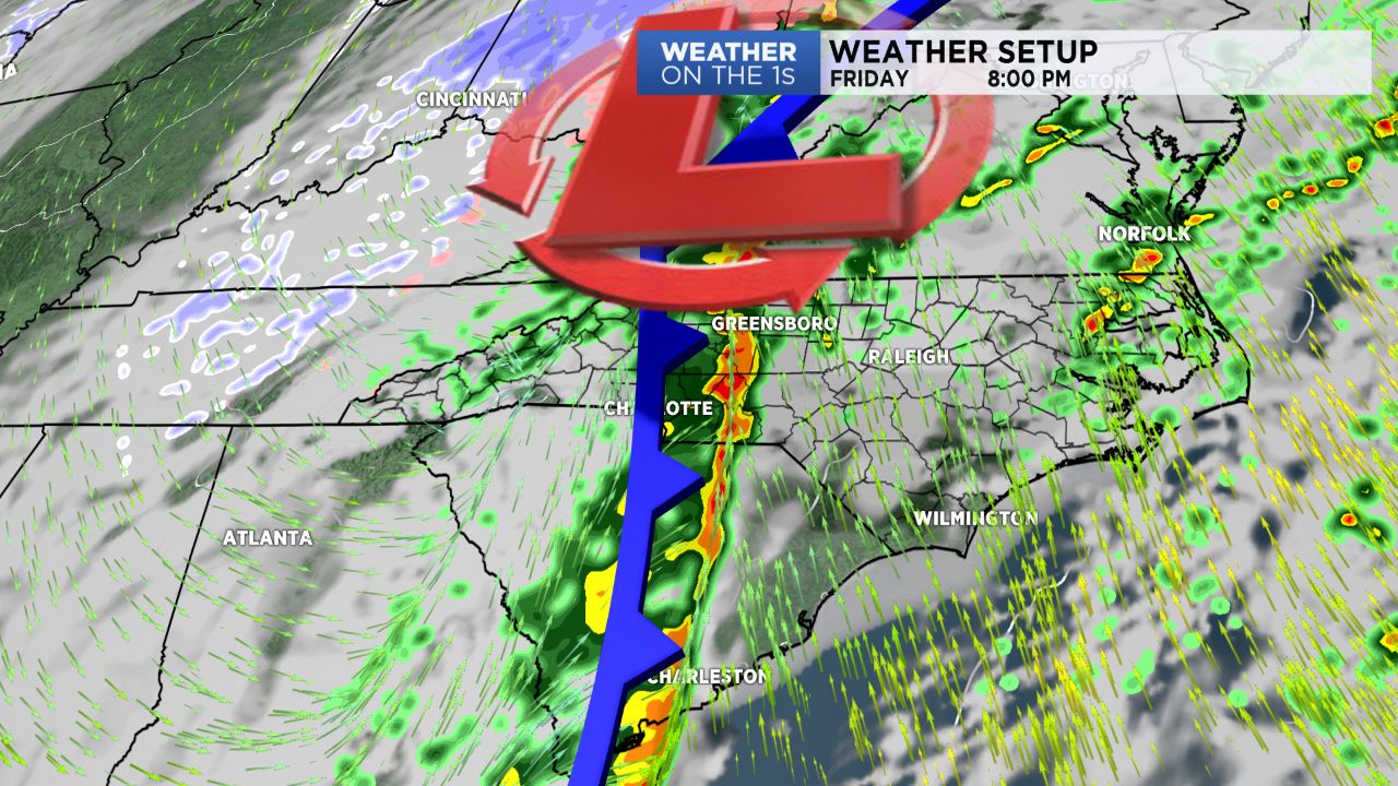
Shower chances continue Friday, and then we will likely have a band of rain and potentially embedded storms late Friday or Friday evening. We will keep an eye on wind damage potential along that line.
Following the system, much colder air returns this weekend. Expect falling temperatures Saturday, and then highs Sunday and Monday will only be in the upper 30s. An even colder blast of air looks likely a little later in the work week.
Be sure and check out today's video for lots of additional information.
Get the latest news, sports and weather delivered straight to your inbox. Click here to sign up for email and text alerts.