


We were able to enjoy a fantastic Tuesday around the region with sunshine and highs in the 60s. We should see more clouds today compared to yesterday, and I will go with 50s for highs this afternoon.
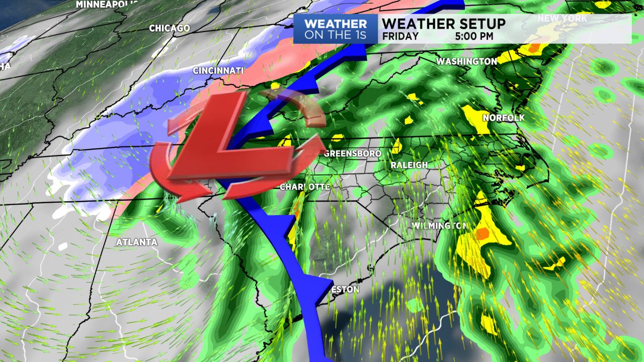
Our next big storm system is slowly approaching. That system dumped heavy rains in California and southern Nevada Tuesday, and that system will become a powerful one over the eastern U.S. late this work week.
Moisture will deepen ahead of the system starting tonight, and some showers will be a possibility around here toward daybreak. We are then set up for a showery weather scenario for Thursday with clouds, occasional showers, and highs in the lower side of the 50s.
The main storm system will move through late Friday and Friday night. Rain is a safe bet, and I can't even rule out a few thunderstorms as well. We will keep an eye on the wind damage potential. Our Friday highs will be in the 60s.
On the cold side of that system, snow will likely fly from northern Mississippi and Alabama up through the eastern Great Lakes region.
Following the system, a much colder weather pattern returns for this weekend through the middle of next week.
Please see today's video for all of the details, plus a look at the rest of January.