


We broke out of the really chilly weekend weather Monday with highs around 60 for much of the region.
Generally, through the remainder of the work week, highs will remain in the 50s and 60s across the piedmont, near to slightly below the average high of 62 this time of year.
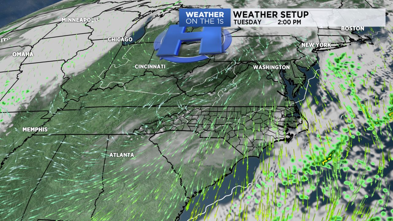
Specifically, look for low and mid 50s today, mid 50s Wednesday, low to mid 60s Thursday, and mid and upper 50s Friday.
A cold front will then approach Saturday. There remain some significant timing differences between the various computer models with the arrival of that front, but for the time being, I will favor some Saturday shower chances, mainly late in the day and into Saturday night.
Following that cold front, another shot of chillier air will then arrive for Sunday and Monday.
If you want some longer-range thoughts as we head toward Thanksgiving and the end of the month, be sure and check out today's video.