


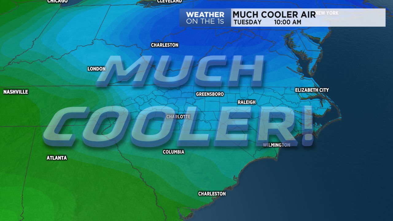
After a lot of well above average temperature through October to this point, much cooler autumn air has arrived. This morning, many mountain spots made it down into the 30s, and some locations were in the 30s in the foothills and piedmont.
In spite of full sun, highs today will be in the 50s in the mountains and 60s in the piedmont, and Wednesday's highs will be quite similar.
Lows Wednesday morning will be a little colder in most spots than what occurred Tuesday morning. Widespread frost is possible in the mountains, and some patchy areas of frost are possible in the foothills and piedmont.
A slow warming trend will occur late in the work week and into the weekend, and our next chance of rain and storms arrives Monday. An even colder shot of air will then likely arrive by the middle of next week.