


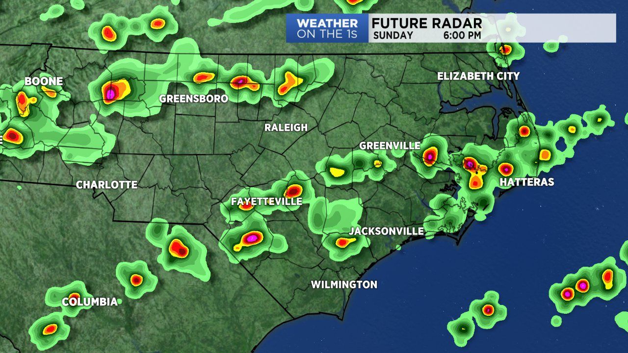
We're still dealing with a slowly moving cold front here in the region. The cold front is diving south through Virginia into western North Carolina. By Sunday evening the front will likely reach central sections of teh state and stall. This will provide a late round of storms for central and eastern North Carolina. Coverage of rain will likely not be as broad as Saturday's storms. But the few storms that may develop could pack a punch with localized heavy rain and gusty winds. With such a late start, we'll likely deal with isolated showers and storms lingering across portions of the state late tonight and even overnight.
The cold front will lift north out of the state late Monday. Before leaving, it will provide forcing for another round of storms Monday afternoon and evening. As this front leaves another cold front is set to arrive our of the west. This front will likely be stronger and allow for more intense storms for the state and region Tuesday. The Storm Predicition Center has already placed much of North Carolina under a marginal (low) severe weather threat Tuesday afternoon and evening.
After Tuesday the front will slide east and stall over the east coast. Dry air will flow in behind the front along with high pressure. This drier air will also be cooler. So Thursday, Friday and the weekend will feature below normal high temperatuers in the mid 80s for most. Rain chances will be cut significantly but not completely out of the forecast due to the front being over the coast and likely developing a few storms for eastern North Carolina.