


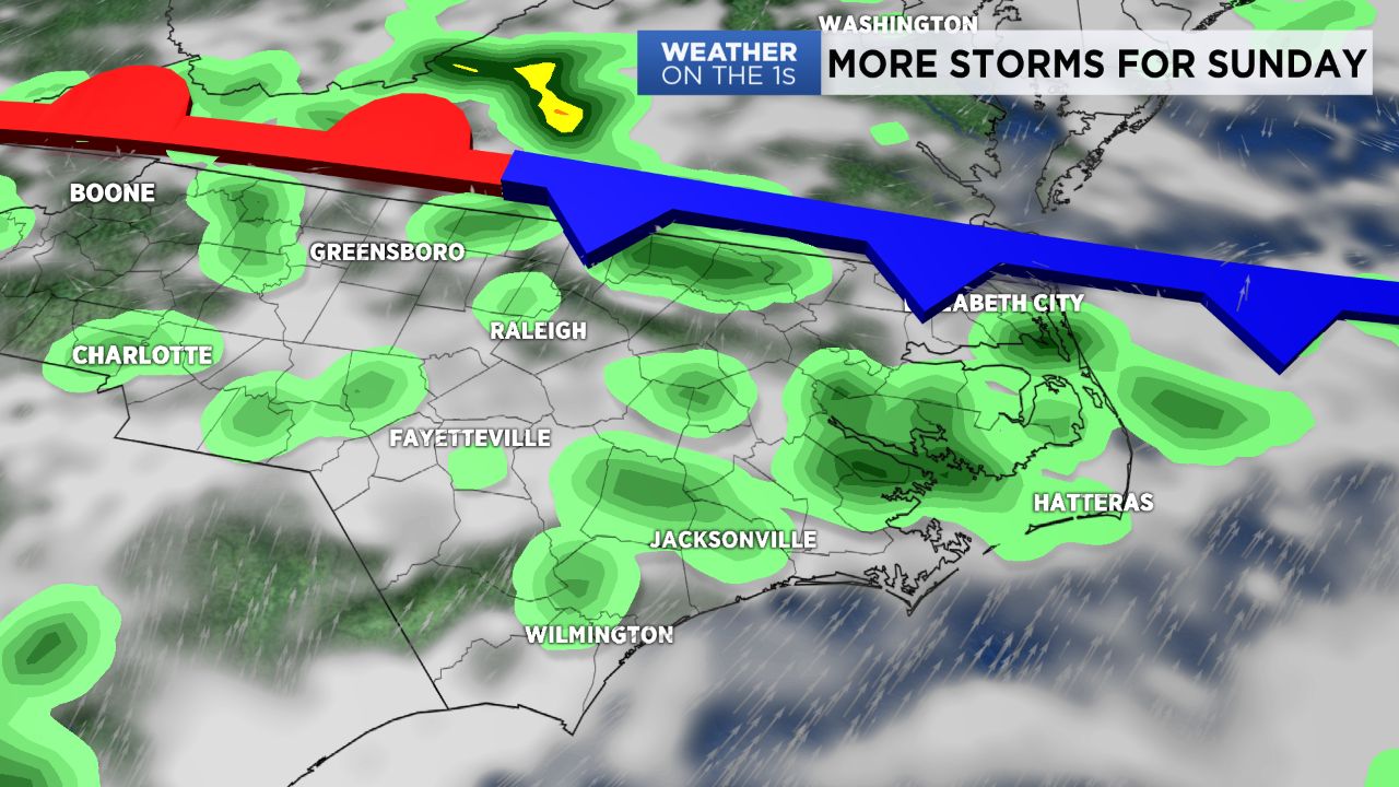
More unsettled weather in the forecast for the rest of the weekend.
- Showers and storms expected Sunday afternoon
- Afternoon highs will peak mid 80s to 90
- Storms could produce heavy downpour, strong wind gusts and lightning
A cold front northwest of us will head south into Virginia. The front will stall out along the North Carolina/Virginia border and will be the focal point for Sunday afternoon showers and storms. Afternoon highs will peak in the mid 80s to around 90.
Some of the storms that develop could produce heavy downpour, strong wind gusts and frequent lightning.
That stalled cold front will eventually move north as a warm front then new cold front will sweep across North Carolina Wednesday stalling over the coast Thursday morning. This will lower rain chances for much of central and western North Carolina, but keep rain in play for the coast over the next five to seven days.
Get the latest news, sports and weather delivered straight to your inbox. Click here to sign up for email and text alerts.