


A lot of heat and a few storms. The dog days of summer continue on as we move through some pretty sultry afternoons. Highs today peaked in the low to mid 90s for many and that will be the norm as we look ahead towards the rest of the workweek.
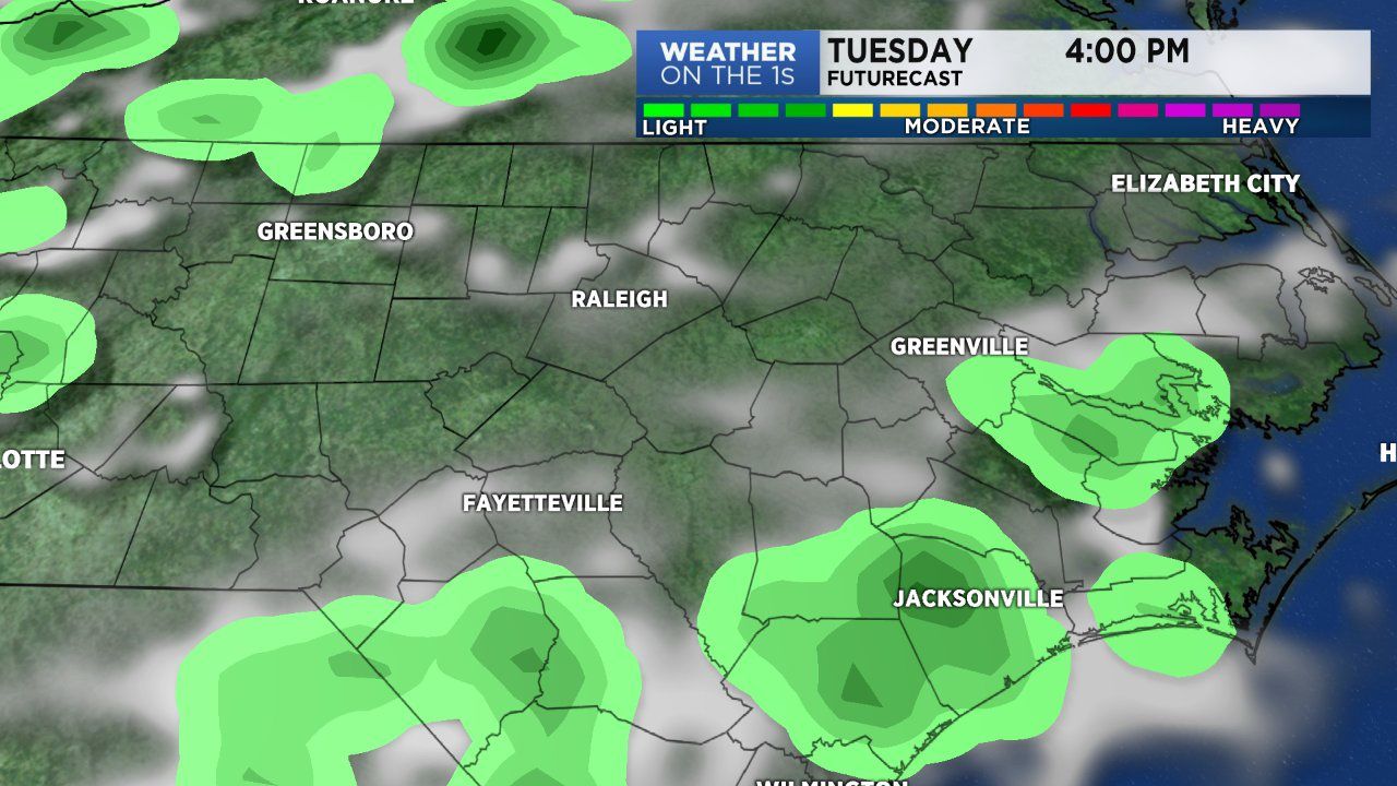
We are dealing with scattered storms tracking southeast across the state. The best coverage of rain is acorss western North Carolina. We'll continue to deal with storms in the area until sunset, after that storm activity will look to quickly diminish. Expect mostly clear to partly cloudy skies tonight and overnight with temperatures resting in the lower 70s.
A cold front is on the way, ensuring rain will dominate our entire workweek and our weekend. The cold front will look to arrive by Wednesday and stall over the area Thursday. So for Tuesday and Wednesday expect isolated to scattered storms during the afternoon. For Thursday, Friday and the weekend scattered to numerous showers and storms will be possible.