


WILMINGTON, N.C. -- A cold front is beginning to move through the state as we move through the back half of our Tuesday.
- Scattered showers and storms have created a wet afternoon for much of southeastern North Carolina
- Due to cooler temperatures tonight, storm activity will diminish but not completely go away
- Thursday will be a dry day for all before rain builds back into our forecast Friday due to a warm front
Ahead of the front, scattered showers and storms have created a wet afternoon for much of southeastern North Carolina.
Storms will continue to remain in the area tonight as the front tracks west to east across the state.
Severe weather is not a huge concern, but a few storms will be capable of producing downpours and gusty winds. The best chance will be across northeastern North Carolina tonight.
Due to cooler temperatures tonight, storm activity will diminish but not completely go away. A few isolated showers will be possible across eastern N.C. as temperatures bottom out in the low 70s.
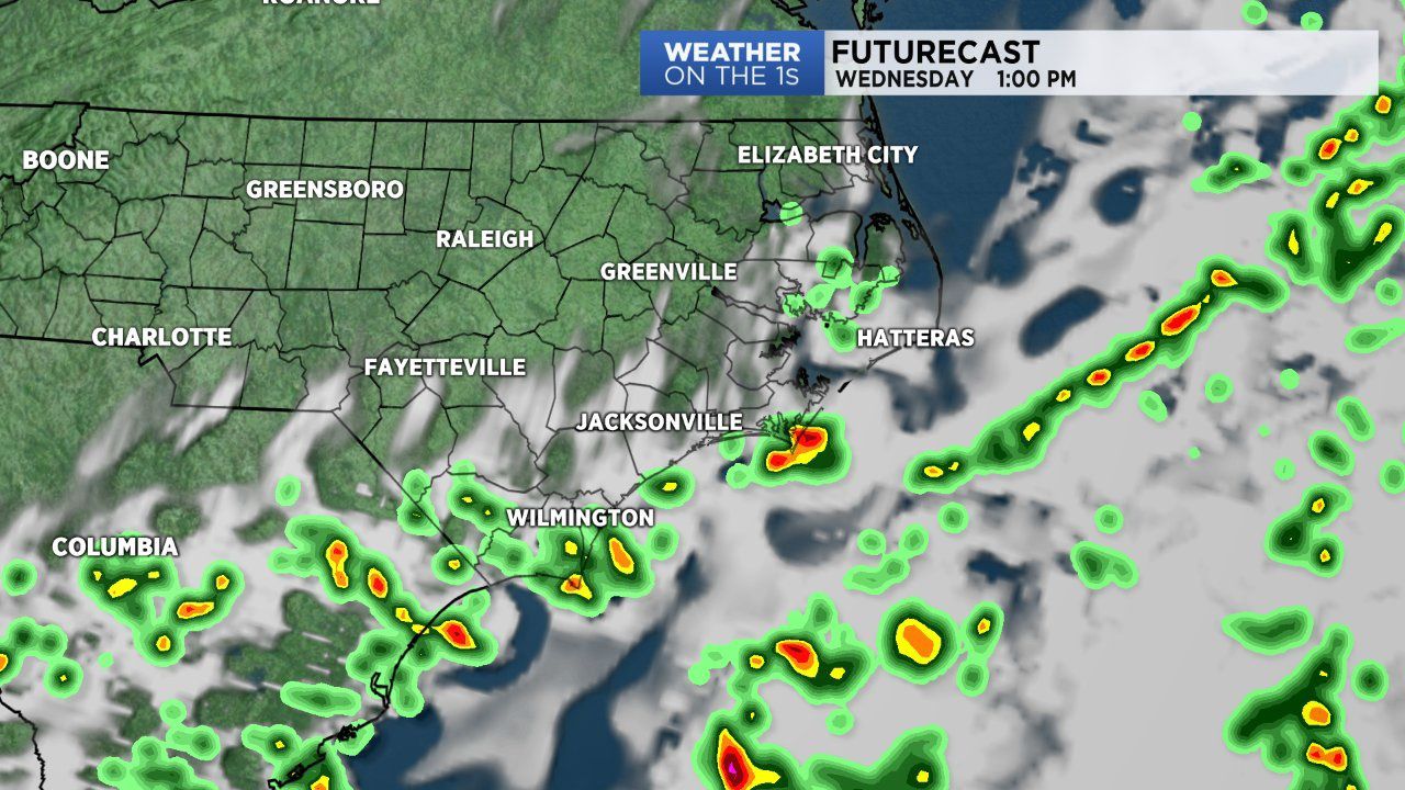
The front will slide to our south and east Wednesday but remain close enough to likely cause a few storms for south and southeastern N.C.
Everyone else along th Outter Banks and northeastern N.C. will be dry. Thursday will be a dry day for all before rain builds back into our forecast Friday due to a warm front lifting north through the state.
Get the latest news, sports and weather delivered straight to your inbox. Click here to sign up for email and text alerts.