


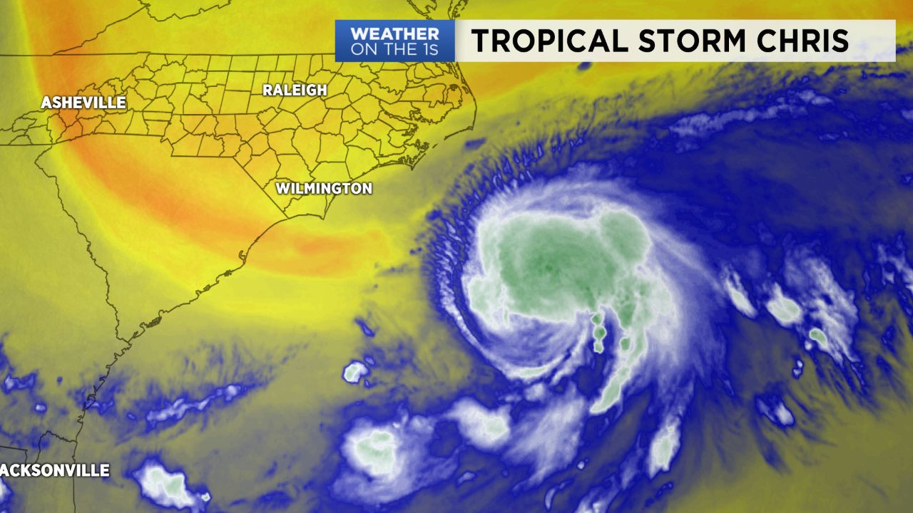
High pressure will keep much of North Carolina dry and sunny as tropical storm Chris impacts the coast.
- Highs near 90 on Monday
- Temperatures will rise through the workweek
- Dangerous rip currents continue along the coast
Expect cool condition Monday morning with lows in the mid-60s and a warm afternoon with highs near 90. Temperatures will continue to climb through the workweek. Highs will reach the low to mid 90s Tuesday and Wednesday afternoon. A cold front will look to sweep through the region late Wednesday bringing in our next shot at widespread rain.
The center of circulation for tropical storm Chris was last located 180 miles south of Cape Hatteras.
Chris is expected to show little movement for Monday. This will continue dangerous rip currents along all of North Carolina’s beaches. Tuesday we should see the storm accelerate to the northeast and conditions along the coast should improve.
Get the latest news, sports and weather delivered straight to your inbox. Click here to sign up for email and text alerts.