


Today’s weather will be somewhat of a mixed bag. Some will be dry, some will be wet and everyone will be hot. A strengthening upper level ridge of high pressure to our north is growing over the eastern United States. As it expands surface high pressure is over the region creating a southeasterly wind flow. These two areas of high pressure will lead to a hot and humid day with highs ranging from the upper-80 to mid-90s for many.
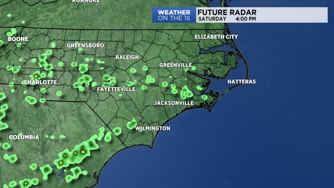
Our morning will be dry with plenty of sunshine. Temperatures will efficiently climb as clouds steadily grow in overhead. We can’t rule out a stray storm this afternoon through the early evening hours. Isolated to scattered showers and storms will be possible mainly for south, southeast and western North Carolina. This includes the Wilmington and surrounding areas, the Sandhills and going west towards Charlotte. Any storms that do develop this afternoon will lose steam by sunset and then we will all have a dry and mild night. Some patchy fog will be possible as we transition into Sunday morning.
Looking ahead towards Sunday and the first half of the new workweek, the heat will remain on high. Mid to upper 90s will dominate our afternoon. An isolated afternoon rain chance will remain in place Sunday but drop out of the forecast Monday and Tuesday. Wednesday is Independence Day and it looks like we could deal with a few rain drops. The odds are low but some cookouts and fireworks shows may be impacted by afternoon and evening storms. We’ll continue to tweak the forecast as needed as we approach this timeframe.