


WILMONGTON, N.C. -- After a few isolated storms today, well enjoy quiet conditions tonight and overnight. A few clouds will hang overhead as we close out our Friday and head into Saturday. Temperatures will remain mild in the mid to upper 60s.
- All along the coast expect mostly sunny skies and warm afternoon in the upper mid to upper 80s
- Sunday afternoon will likely feature hot and muggy conditions and a larger coverage of showers and storms
- Our rain chances go away Monday and Tuesday and temperatures look to skyrocket
Our storms today were caused by a sagging cold front over the North Carolina-South Carolina boarder. This front will continue to move away from our area as high pressure builds in this weekend. All along the coast expect mostly sunny skies and warm afternoon in the upper mid to upper 80s.
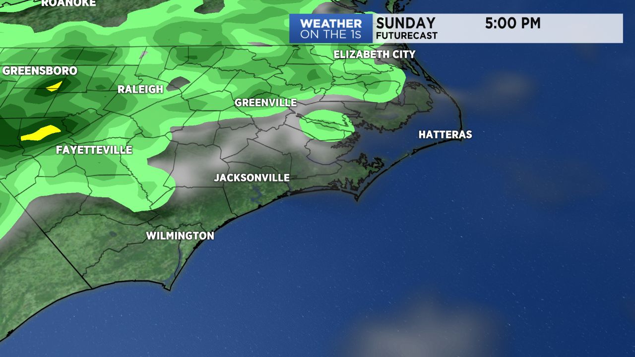
Sunday is a little bit different. High pressure will sit just offshore to our east. This will create a southerly wind flow and bring warm, moist air into the state. This will push temperatures into the lower 90s and increase our rain chance. Sunday afternoon will likely feature hot and muggy conditions and a larger coverage of showers and storms mainly during the afternoon hours. We'll watch radar closely for any intense storms that have the potential to produce downpours, frequent lightning and gusty winds.
After the weekend, high pressure truly gains a strangle hold on the area. Our rain chances go away Monday and Tuesday and temperatures look to skyrocket. Afternoon highs both day will reach near 98 degrees. But with dew points high in the low 70s the heat index (feel like temperature) will reach the low to mid 100s.
Wednesday will feature similar heat and humidity, but rain chances look to return on this day. Wednesday will likely host mid 90 degree afternoon temperatures with scattered storms lingering into the evening. With this upcoming hot stretch be mindful of how your body is responding to the heat, stay hydrated and do not leave any defenseless child or pet in a car.