


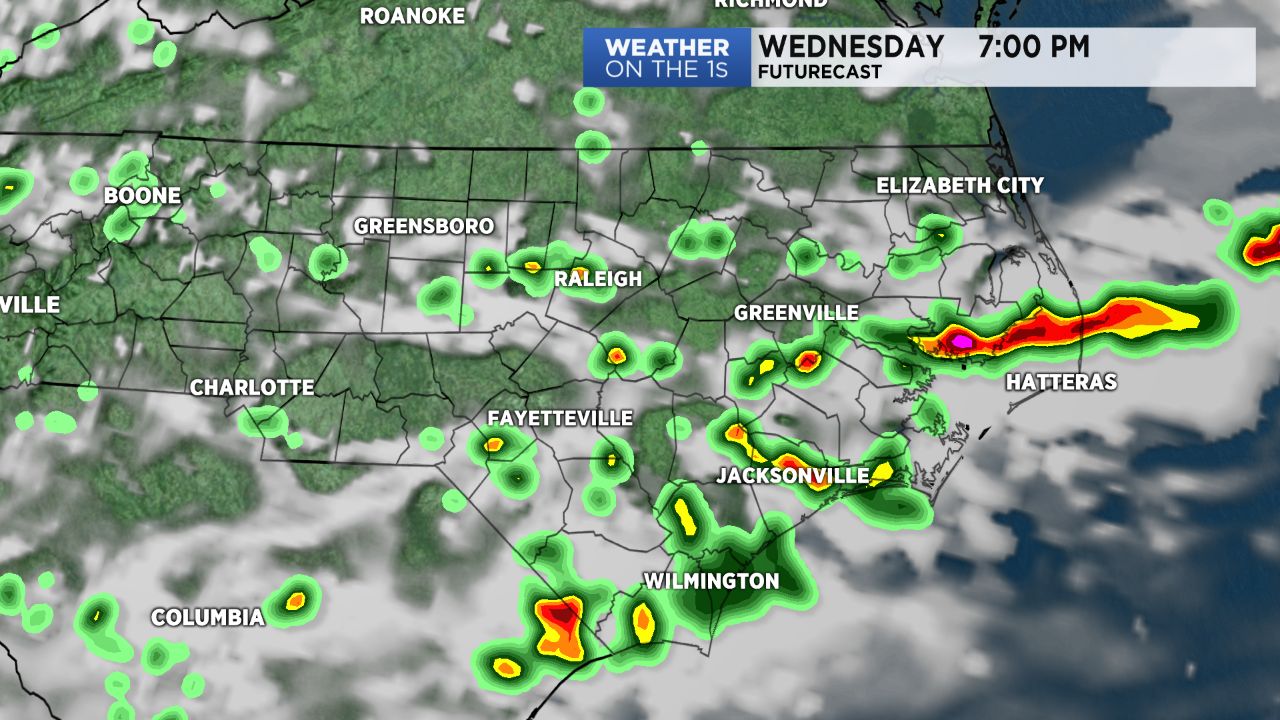
We will need to keep an eye on radar again Wednesday afternoon and evening. Scattered storms are expected to break out around North Carolina ahead of a front dropping into the state from the north.
- Interactive radar
- 7-day forecast
- Share your weather photos with Meteorologist Lee Ringer on Facebook
Some of the storms could be strong with locally heavy rain and frequent lightning. A few of the storms could even produce powerful wind gusts and hail.
Most of the storms will move to the south or southeast into Wednesday evening. The storms could linger a while through the night before ending by late night or early Thursday morning.
The front will push south of the area by Thursday keeping most of the rain chances for Thursday to our south in South Carolina.
By the end of the week, we will need to watch an area of low pressure moving into the Gulf of Mexico. The National Hurricane Center says there is a 50% chance it could become a tropical depression or tropical storm by the start of the Memorial Day weekend. Whether or not it becomes an organized tropical system, the impacts on our weather should be the same. We'll see the chance for scattered afternoon storms on Saturday and Sunday. As the tropical moisture streams across the southeast, the showers and storms will likely be more widespread across North Carolina by Monday.