


An area of low pressure will move slowly to the north from the Tennessee valley region and along the Appalachians today.
- Up to four inches of rain possible.
- Rain not as widespread beginning Sunday.
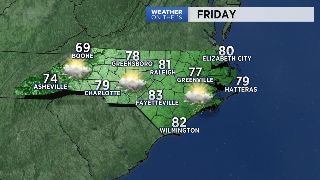
- Temps in the low to mid 80s throughout.
High pressure well off shore will remain in place through the weekend, resulting in a south-southeasterly flow of warm moist air into North Carolina.
An additional two to almost four inches of rain is likely across central and eastern North Carolina through early next week with locally higher amounts possible.
Shower and thunderstorms coverage should decrease at night, but a few spotty showers will be possible, and then become more widespread during the day Saturday.
Heading into Sunday and early next week, afternoon storms will still pop up, but they should not be as widespread around the region.
High temperatures near 80 to the low 80s are forecast through Saturday. The mid 80s are expected from Sunday through much of next week.
Late night and early morning low temperatures each day will be in the upper 60s to near 70.
Get the latest news, sports and weather delivered straight to your inbox. Click here to sign up for email and text alerts.