


WILMINGTON, N.C. -- A warm and very humid air mass along with showers and thunderstorms will be the main weather issues for the rest of the week and the weekend.
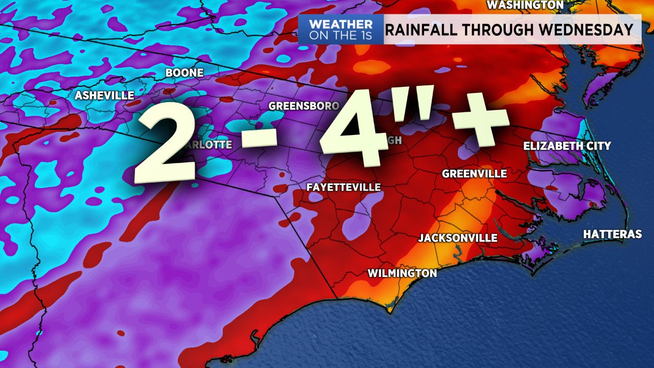
- Several inches of rain likely through early next week
- Showers and thunderstorms Friday through Saturday
- High temperatures near 80 to the low 80s are forecast through Saturday
As of early Thursday morning, rainfall amounts have varied greatly this week:
- Hatteras -- 0.81"
- Elizabeth City -- 0.77"
- Whiteville -- 0.47"
- Beaufort -- 0.35"
- Wilmington-- 0.28"
- Havelock -- 0.08"
- Jacksonville -- 0.07"
An additional two to four inches of rain is likely across eastern and coastal North Carolina through early next week with locally higher amounts possible.
Shower and thunderstorms coverage should decrease Thursday night, but a few spotty showers will be possible.
Showers and thunderstorms will again become more widespread during the day Friday with pretty much the same thing for Saturday.
Heading into Sunday and early next week, afternoon storms will still pop up, but they should not be as widespread around the region.
High temperatures near 80 to the low 80s are forecast through Saturday. The mid 80s are expected from Sunday through much of next week.
Late night and early morning low temperatures each day will be in the upper 60s to low 70s.