


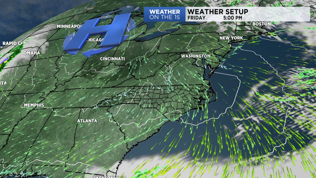
It was a cold, frosty start to our Friday around the region. Lows made it down into the low and mid 30s across the area, good enough for some areas of frost and even a light freeze in a few spots. However, we have a very dry airmass in place, and dry air heats and cools effectively. The result? Temperatures rising about 30 degrees from our cold morning lows, winding up in the low and mid 60s for highs. Our Friday will also feature wall-to-wall sunshine.
- Lows will drop into the upper 30s tonight, and then we are set up for some fantastic weekend weather.
- Saturday features full sunshine with highs in the mid 60s.
- Some clouds arrive later Sunday with highs in the upper 60s.
A slow-moving storm system will then pull into the region by Monday. This system will likely cause a multi-day rain event in the Carolinas. Rain arrives Monday and continues through Tuesday before tapering off thereafter. Many locations could see at least an inch of rain, and as you head into the western Carolinas and down into north Georgia, some 3-5" rain totals look possible.