


High pressure gave us nice weather as we started the weekend on Saturday, but a cold front will bring a chance of showers and thunderstorms as we move toward the end of the weekend.
Through the rest of the night, we will see southerly winds across the region. This will give us very mild overnight temperatures and it will also set the stage for more clouds.
By Sunday morning, there might be a few isolated showers around the area and by the late afternoon and evening, we could see a few isolated thunderstorms develop.
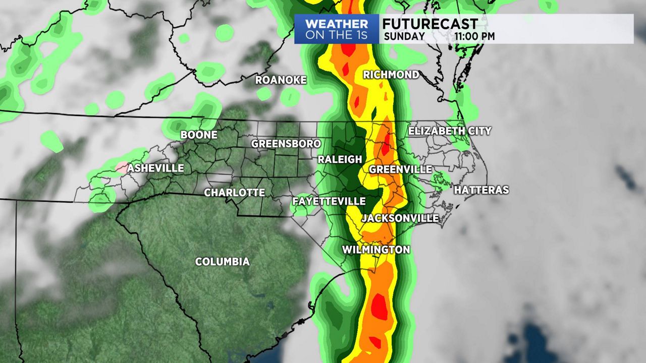
The cold front is expected to reach eastern North Carolina by late evening. At that point, the chances for showers and storms will increase. Some storms could be strong to severe with damaging winds being the main severe weather threat. Any rain should end by early Monday morning with the passage of the front.
High pressure will build into the state for Monday afternoon.
Stay with Spectrum News as we monitor any severe weather threat for our area.
Get the latest news, sports and weather delivered straight to your inbox. Click here to sign up for email and text alerts.