


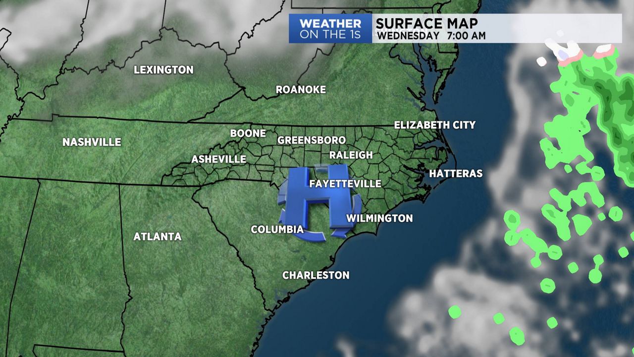
After a light round of wintry precipitation on Tuesday morning, high pressure is now building into North Carolina and will control our weather for the next few days...
With the high settling over the state, we'll see lighter winds during the night. We will have very cold temperatures into early Wednesday morning. If you're heading out to see the lunar eclipse before sunrise, make sure you bundle up.
The high will slip off the Carolina coast by Wednesday afternoon and this will set us up for more southerly winds. This will be the beginning of a little "warming trend". Daytime highs on Wednesday will be just a little "warmer" than they were on Tuesday and we'll really feel the milder temperatures on Thursday with above average temperatures.
Another cold front will swing across the region on Thursday night into Friday morning. This will bring with it our next chance for showers.
Watch Spectrum News for your complete local forecast.