


Friday brought warm and humid weather across the region as temperatures climbed into the low 70s for many of us. Showers and a few thunderstorms dumped heavy rain across the region Friday evening with rainfall totals ranging from one-half inch to three inches!
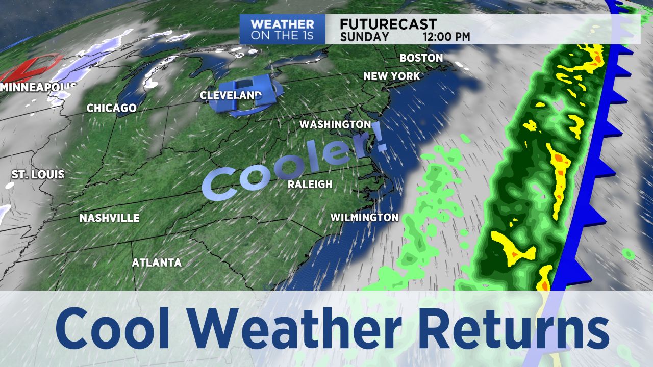
Cooler weather makes a comeback as we head into the weekend. Gusty northwest winds will deliver cold dry air across the Tar Heel State and by Sunday morning low temperatures will range through the 20s.
Plenty of sunshine for Sunday and Monday, but afternoon highs will only be in the mid 30s to around 40. Warmer for Tuesday in advance of the next weather-maker coming our way. This next system has the potential to bring some wintry weather across the region Tuesday night into Wednesday morning. Still too early for specifics, but worth thinking about anything you will need to do to be ready.