


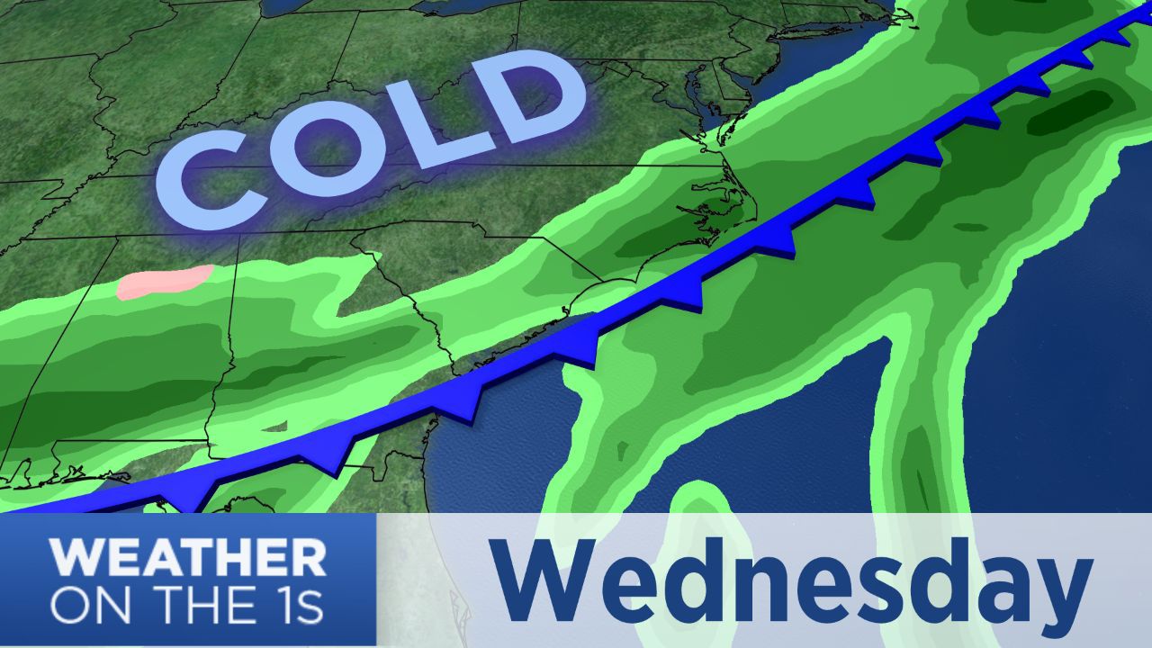
Coastal North Carolina could see up to two or two and half inches of rain from Wednesday through Friday. A cold front moving through region Wednesday morning is bringing a wetter weather pattern that will last through the rest of this week and a colder weather pattern that may last all the way through next week.
As colder air arrives behind that front, temperatures will drop to the low and mid 50s Wednesday afternoon around Wilmington and Jacksonville. We'll eventually drop the 40s Wednesday night.
Wednesday morning's cold front will stall off our coast for the rest of this week. That will keep off and on rain in our forecast Thursday and Friday.
Once temperatures drop into the 40s late Wednesday, we'll hold in the 40s for the rest of the week. No doubt that will be a chilly rain on Thursday and Friday.
Central parts of the state could see Friday's rain come to an end with a little light snow in the evening with little to no accumulation. Some far inland areas of southeastern North Carolina have a slight chance to see the same. The precipitation will end for everyone during the early morning hours Saturday.
Most of the weekend still looks dry and cold. Highs on Saturday will warm just to the low 50s. Sunday's highs are forecast to be in the upper 40s.
Find updates on the forecast via social media by following Meteorologist Lee Ringer on Facebook and Twitter.