


High pressure built into North Carolina on Sunday and set the stage for cold temperatures on Monday morning, and cool temperatures on Monday afternoon.
This high will slip off the Carolina coast through the night. After a cold start on Tuesday morning, we'll increase clouds during the day and we'll increase temperatures. Though, daytime highs will remain below average, we will at least make it into the 60s. A few areas might see an isolate shower by Tuesday afternoon.
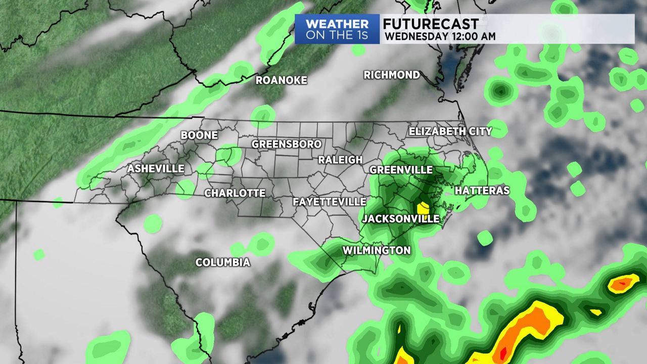
Developing low pressure off the southeast coast will move up the Carolina coast Tuesday night into Wednesday morning. This system will pull more moisture into the region. The chance of showers will increase from Tuesday night into Wednesday morning.
High pressure will build back into the area by Wednesday afternoon. On Thursday, look for partly sunny skies and cool afternoon highs with a slight chance of showers.
Watch Spectrum News for your latest local forecast.