


CHARLOTTE, N.C. -- After another day of cold, cloudy weather Wednesday, our second strong system of the week will begin moving in from the south late Wednesday afternoon. The Piedmont will receive a soaking, cold rain while the mountains may pick up significant ice accumulations from freezing rain and sleet into Thursday morning.
- Temperatures should remain steady throughout the day with highs only managing to reach into the low to mid 40s
- Steady rain will spread in from the south starting late Wednesday afternoon and Wednesday night
- Sleet and freezing rain will become likely by late Wednesday evening and into Thursday mid-morning
The first half of Wednesday will be quieter, but cold. Temperatures should remain steady throughout the day with highs only managing to reach into the low to mid 40s under abundant cloud cover and a chilling northeasterly breeze.
Steady rain will spread in from the south starting late Wednesday afternoon and Wednesday night from the aforementioned low pressure system. This system will have two major threats:
- The potential for heavy rain and localized flooding across the Piedmont
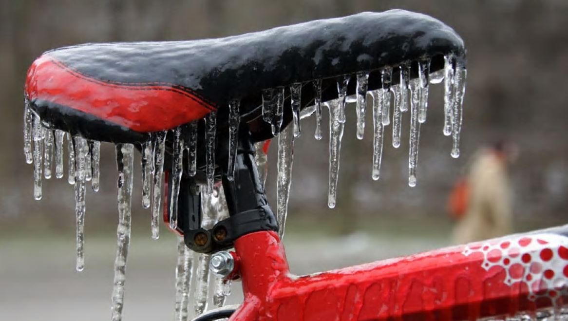
- The potential for a significant and dangerous icing event in the mountains
Rainfall totals will range from one to two or more inches on top of all the rain we received on Monday. Because of this, Flood Watches will go into effect region-wide Wednesday afternoon.
Winter Storm Warnings will also go into effect for Ashe, Watauga, and Avery counties Wednesday evening with Winter Weather Advisories for Burke and Caldwell counties.
As temperatures cool to below freezing quickly overnight, sleet and freezing rain will become likely by late Wednesday evening and into Thursday mid-morning.
Ice accumulations could range from a quarter of an inch to perhaps three quarters of an inch or more. Bottom line is, roads in the High Country Thursday morning will be dangerously slick. Power outages will also be a possibility as the limbs on the still leaved trees become heavy and snap.
This system should move out of our region by late Thursday afternoon with sunshine returning by Friday.
Get the latest news, sports and weather delivered straight to your inbox. Click here to sign up for email and text alerts.