


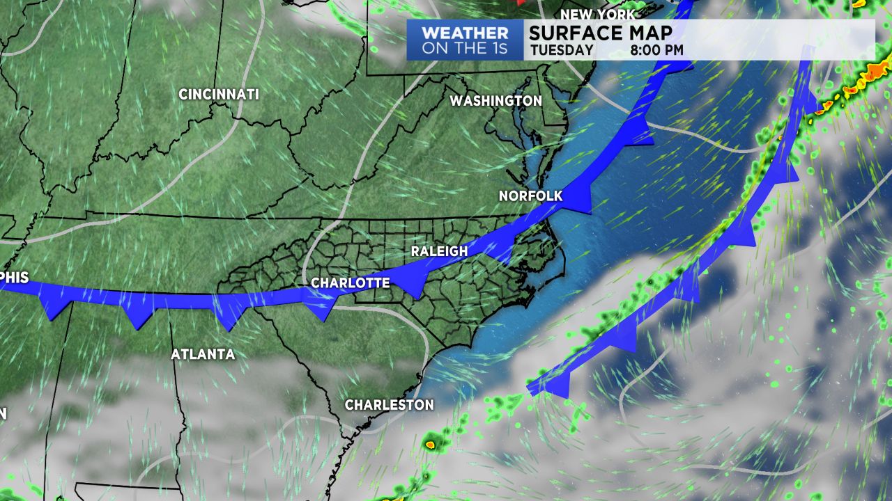
A cold front will move through North Carolina Tuesday, but should pass through as a dry front. Behind it, we'll see another shot of cool and dry air to follow as high pressure builds back in from the northwest. Rain returns Friday as a Gulf system spreads moisture across the region.
After a bit of a milder start Tuesday morning, compared to what we saw Monday, temperatures will see a nice warm up. Winds will be back out of the southwest ahead of the aforementioned front, allowing highs to warm back into the upper 60s to low 70s.
High level clouds will build in ahead of the front early in the afternoon before clearing into this evening as the front moves to the southeast of our region.
Sunshine will be back in full force Wednesday, along with cooler highs. Temperatures will once again be back down into the low to mid 60s for highs under sunny skies. With cold high pressure digging into the region Thursday, temperatures will be even cooler, with highs only expected to top off in the 50s!
Clouds will increase Thursday evening before rain arrives Friday morning thanks to a system tracking northward from the Gulf of Mexico. Chances for showers will continue Saturday into Sunday and possibly even Monday. In fact, by Monday morning, we could see a rain/snow mix develop in the mountains. Highs will remain well below average due to abundant cloud cover with temperatures only expected to warm into the upper 40s to low/mid 50s Friday through the weekend.