


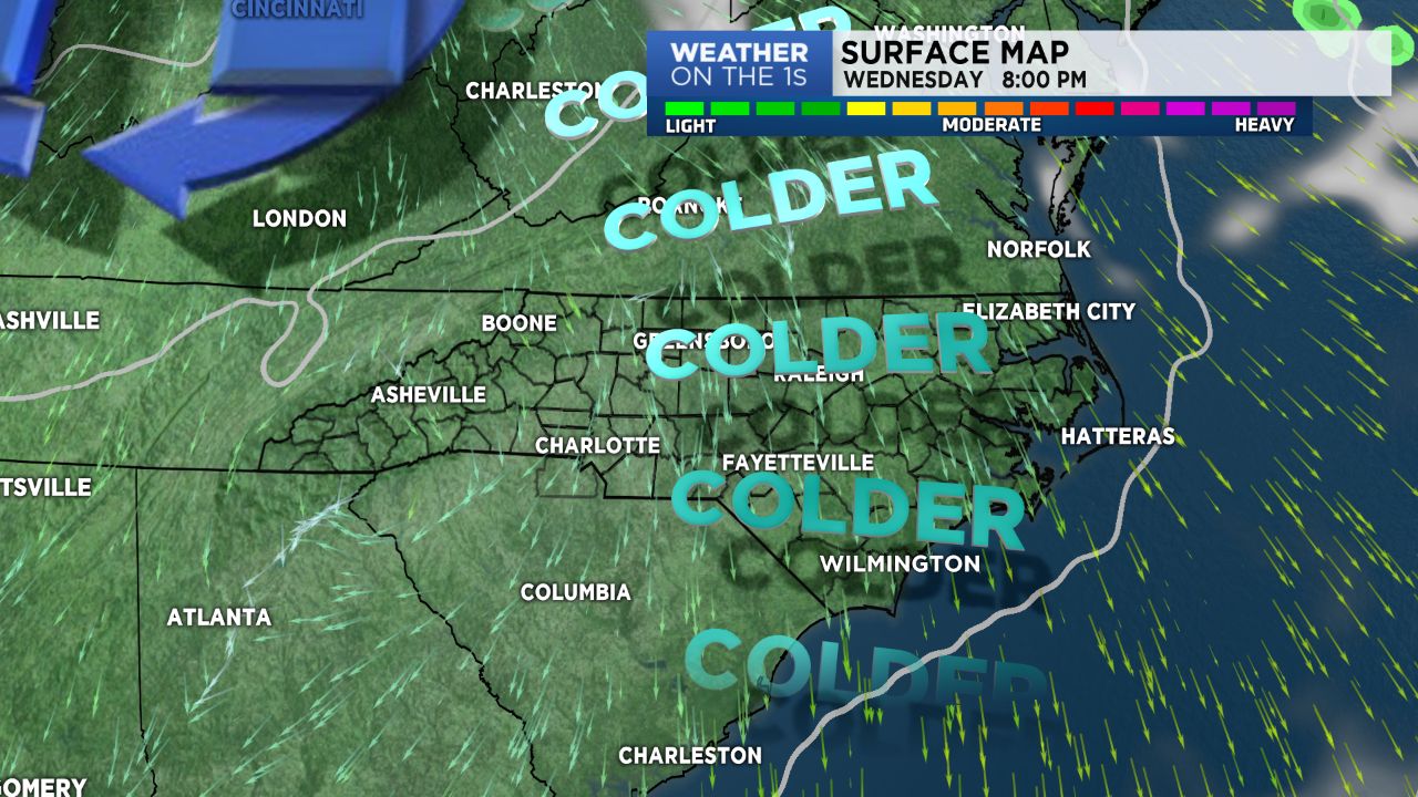
One area of high pressure moves out and allows a fast moving cold front to scoot across NC Tuesday. Once the boundary is gone, another cold Canadian high will bring a shot of colder temps our way by mid-week.
Coastal low expected to develop later in the week and track across the SE to just off the NC coast by Saturday. This will bring increasing clouds and the likelihood of rain Saturday and Saturday night.
Given the high pressure up over the northeast, a wedge of colder air will be in place. We may see some of the higher mountain elevations in line for snow late Friday night. I won't bet the farm on it just yet, but something we are watching.